Large airport · Brazil
Cataratas International AirportSBFI
-25.5942°, -54.4894°
8,875 ft
Longest runway
1
Runways
786 ft
Elevation
Runway & Layout

Radio Frequencies
TWR
118.8 MHz
FOZ TWR
APP
119.15 MHz
FOZ APP
Navaids
FOZ VOR-DME Foz 112.10 MHz
FOZ NDB Foz 410 kHz
QQ NDB Iguacu 395 kHz
Runways · 1
| Runway | Dimensions | Surface | True heading | Lit |
|---|---|---|---|---|
| 15/33 | 8,875 × 148ft | Asphalt | 130° | — |
Airport Specifications
IATA code
IGU
ICAO code
SBFI
Airport class
Large airport
Scheduled service
Yes
Runway surface
Asphalt
Served city
Foz do Iguaçu
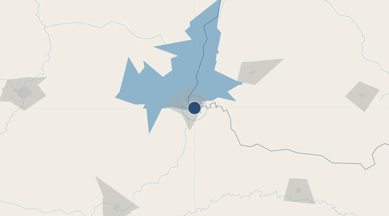
Location
Nearby Logistics Neighbours
Airports
Cities
- 1Foz do Iguaçu12 km
- 2Santa Terezinha de Itaipu21 km
- 3Ciudad del Este24 km
- 4Puerto Wanda43 km
- 5Capanema70 km
Ports
- 1Puerto De Asuncion323 km
- 2Porto Alegre588 km
- 3Sao Francisco590 km
- 4Paranagua599 km
- 5Itajai602 km
Trade Zones
- 1Zona Franca Puerto Iguazu Free Trade Zone8 km
- 2Zona Franca Internacional24 km
- 3Zona Franca Global25 km
- 4ZPE de Bataguassú (MS)483 km
- 5Rivera Free Zone604 km
DatabookThe Record of Consolidated Knowledge
Brazil beyond logistics?