Medium airport · Argentina

Cataratas Del Iguazú International AirportSARI
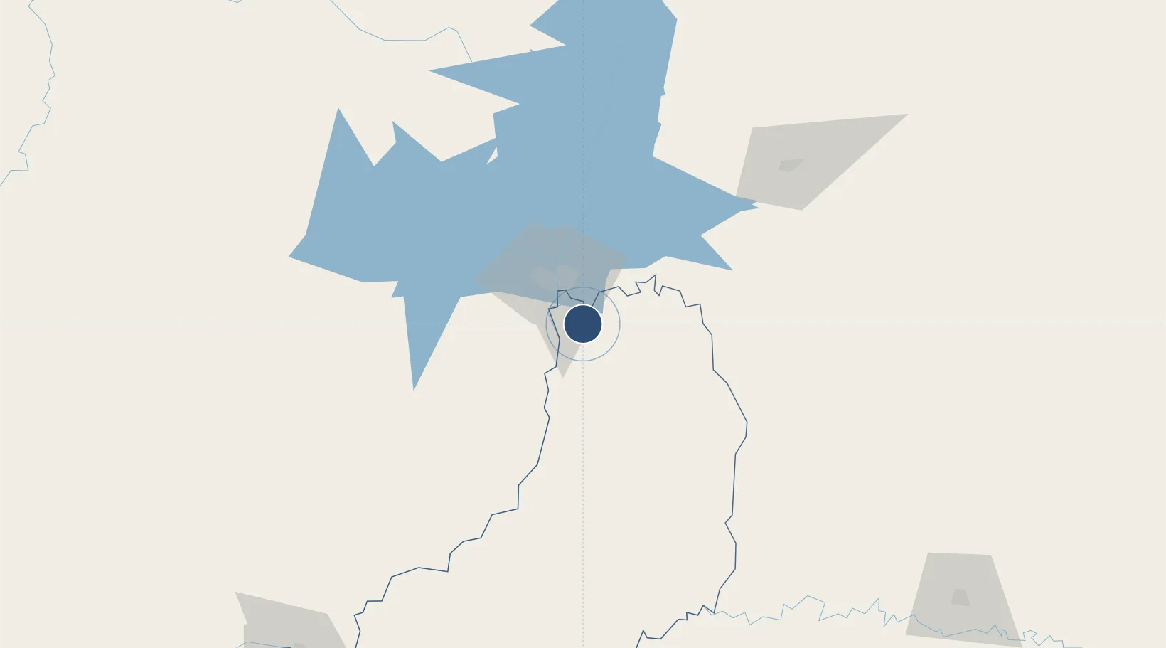
-25.7373°, -54.4734°
10,827 ft
Longest runway
1
Runways
916 ft
Elevation

Runway & Layout

Cataratas Del Iguazú International Airport runway & taxiway layout
Runway & taxiway layout — OpenStreetMap (ODbL) / OurAirports

Radio Frequencies

TWR
120.7 MHz
TWR/APP
OurAirports

Navaids

IGU VOR-DME Cataratas Del Iguazu 114.10 MHz
OurAirports

Runways · 1

RunwayDimensions SurfaceTrue headingLit
13/31 10,827 × 148ft Asphalt 115°
OurAirports

Airport Specifications

IATA code
IGR
OurAirports
ICAO code
SARI
OurAirports
Airport class
Medium airport
OurAirports
Scheduled service
Yes
OurAirports
Runway surface
Asphalt
OurAirports
Served city
Puerto Iguazu
OurAirports

Location

Location of SARI
Natural Earth 10m (public domain) · Misiones · SARI · -25.74, -54.47GoogleOSMYandex

Nearby Logistics Neighbours

Airports
  1. 1Cataratas International Airport16 km
  2. 2Itaipú Airport40 km
  3. 3Guaraní International Airport48 km
  4. 4Cooperativa Lar Heliport66 km
  5. 5Coronel Adalberto Mendes da Silva Airport128 km
Nearest neighbours — logibook spatial index (haversine) over the source coordinates
Cities
  1. 1Foz do Iguaçu25 km
  2. 2Puerto Wanda29 km
  3. 3Santa Terezinha de Itaipu35 km
  4. 4Ciudad del Este36 km
  5. 5Capanema68 km
Nearest neighbours — logibook spatial index (haversine) over the source coordinates
Ports
  1. 1Puerto De Asuncion326 km
  2. 2Porto Alegre574 km
  3. 3Sao Francisco586 km
  4. 4Itajai597 km
  5. 5Paranagua598 km
Nearest neighbours — logibook spatial index (haversine) over the source coordinates
Trade Zones
  1. 1Zona Franca Puerto Iguazu Free Trade Zone18 km
  2. 2Zona Franca Internacional36 km
  3. 3Zona Franca Global36 km
  4. 4ZPE de Bataguassú (MS)497 km
  5. 5Rivera Free Zone588 km
Nearest neighbours — logibook spatial index (haversine) over the source coordinates
DatabookThe Record of Consolidated Knowledge
Argentina beyond logistics?
Browse databook

All Sources

AirportsOurAirports
Public domain
Portsthe NGA World Port Index
Public domain (US gov)
LocationsUN/LOCODE
UN/LOCODE — free
Trade Zonesthe World Bank SEZ database
CC BY 4.0
Trade ZonesOpen Zone Map
CC BY
InfrastructureOpenStreetMap
ODbL 1.0
← Argentina airports