Transport Functions
Multimodal
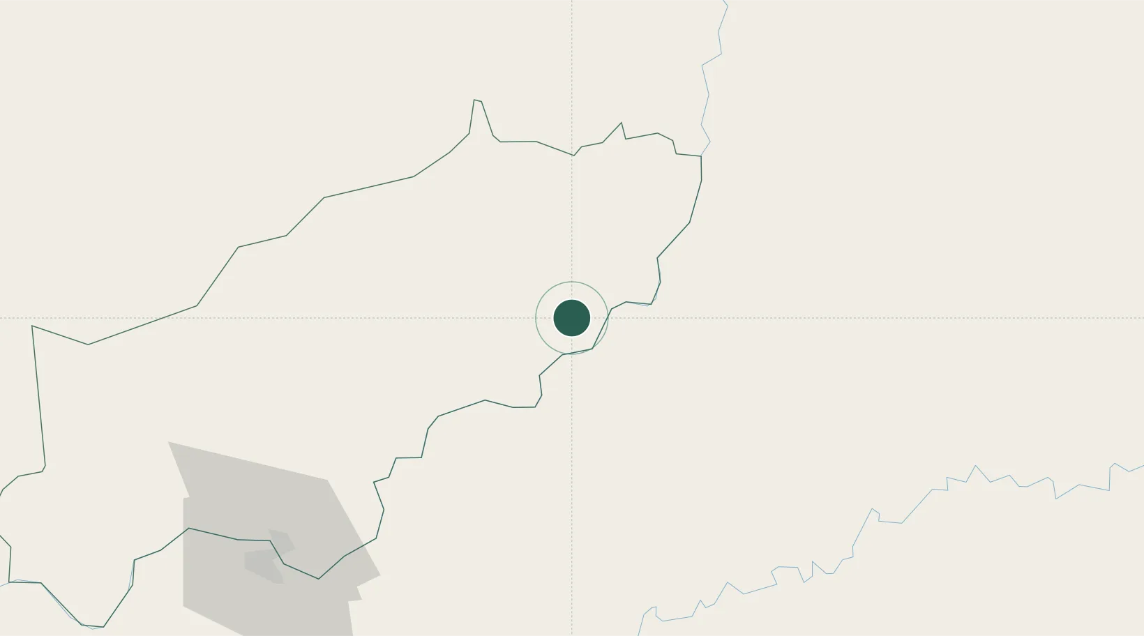
Hub Profile
Place type
Populated place
Region
Itapúa
Time zone
America/Asuncion
Elevation
203 m
Location
Nearby Logistics Neighbours
Cities
- 1Ruiz de Montoya32 km
- 2Puerto Eldorado52 km
- 3Obligado70 km
- 4San Ignacio82 km
- 5Trinidad88 km
Ports
- 1Puerto De Asuncion309 km
- 2Porto Alegre525 km
- 3Concordia598 km
- 4Tramandai603 km
- 5Pelotas623 km
Airports
Trade Zones
- 1Zona Franca Puerto Iguazu Free Trade Zone131 km
- 2Zona Franca Global138 km
- 3Zona Franca Internacional138 km
- 4Rivera Free Zone475 km
- 5ZPE de Bataguassú (MS)617 km
DatabookThe Record of Consolidated Knowledge
Paraguay beyond logistics?