UN/LOCODE hub · Argentina
ARRDM
Ruiz de Montoya
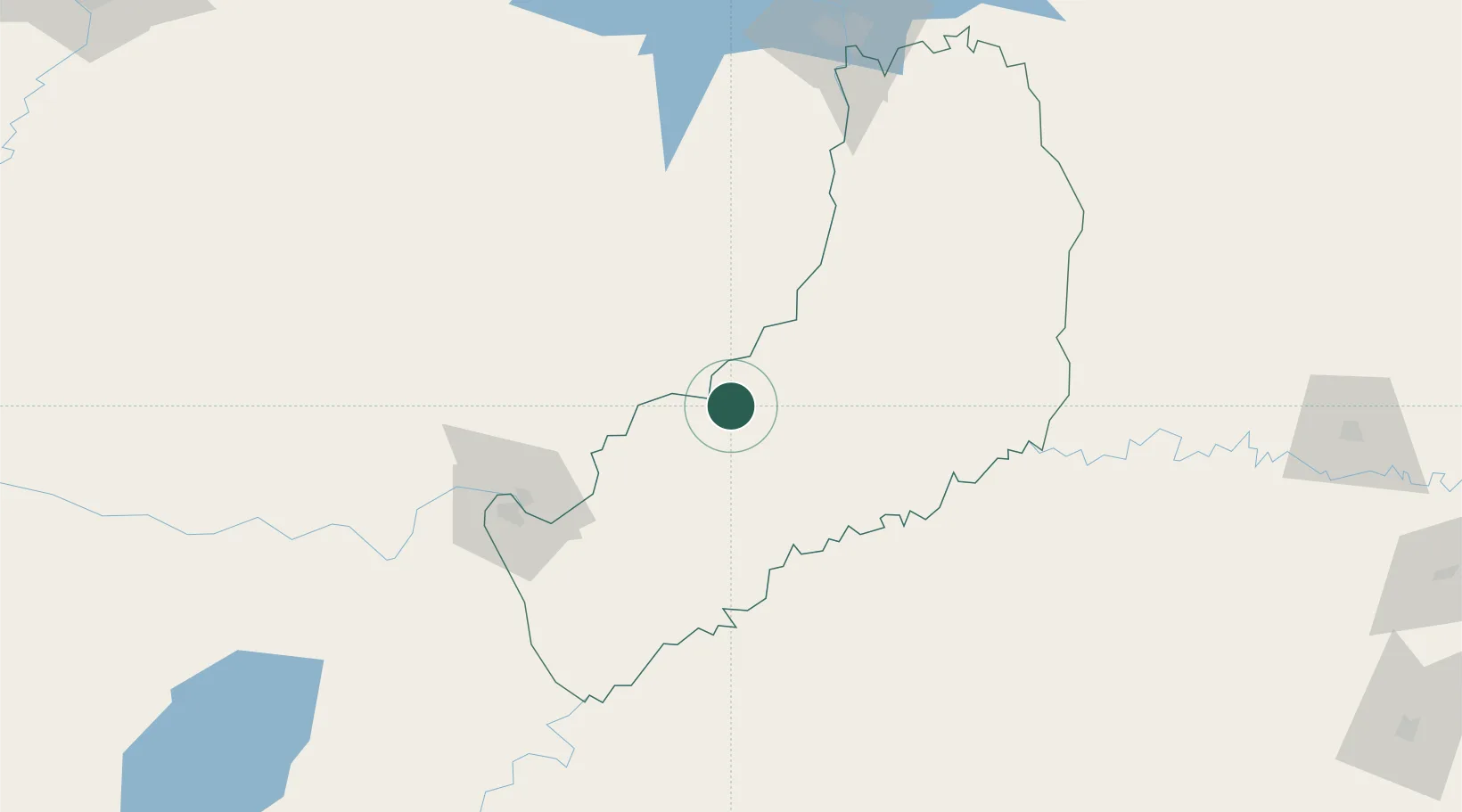
-26.9833°, -55.0500°
3,374
Population
1
Transport functions
Transport Functions
Multimodal
Hub Profile
Place type
Populated place
Region
Misiones
Population
3,374
Time zone
America/Argentina/Cordoba
Elevation
210 m
Location
Nearby Logistics Neighbours
Cities
- 1San José32 km
- 2Obligado58 km
- 3San Ignacio60 km
- 4Santa Ana66 km
- 5Trinidad74 km
Ports
- 1Puerto De Asuncion325 km
- 2Porto Alegre504 km
- 3Concordia570 km
- 4Tramandai585 km
- 5Pelotas595 km
Airports
Trade Zones
- 1Zona Franca Puerto Iguazu Free Trade Zone161 km
- 2Zona Franca Global169 km
- 3Zona Franca Internacional169 km
- 4Rivera Free Zone443 km
- 5ZPE de Rio Grande (RS)632 km
DatabookThe Record of Consolidated Knowledge
Argentina beyond logistics?