Large airport · Paraguay

Guaraní International AirportSGES
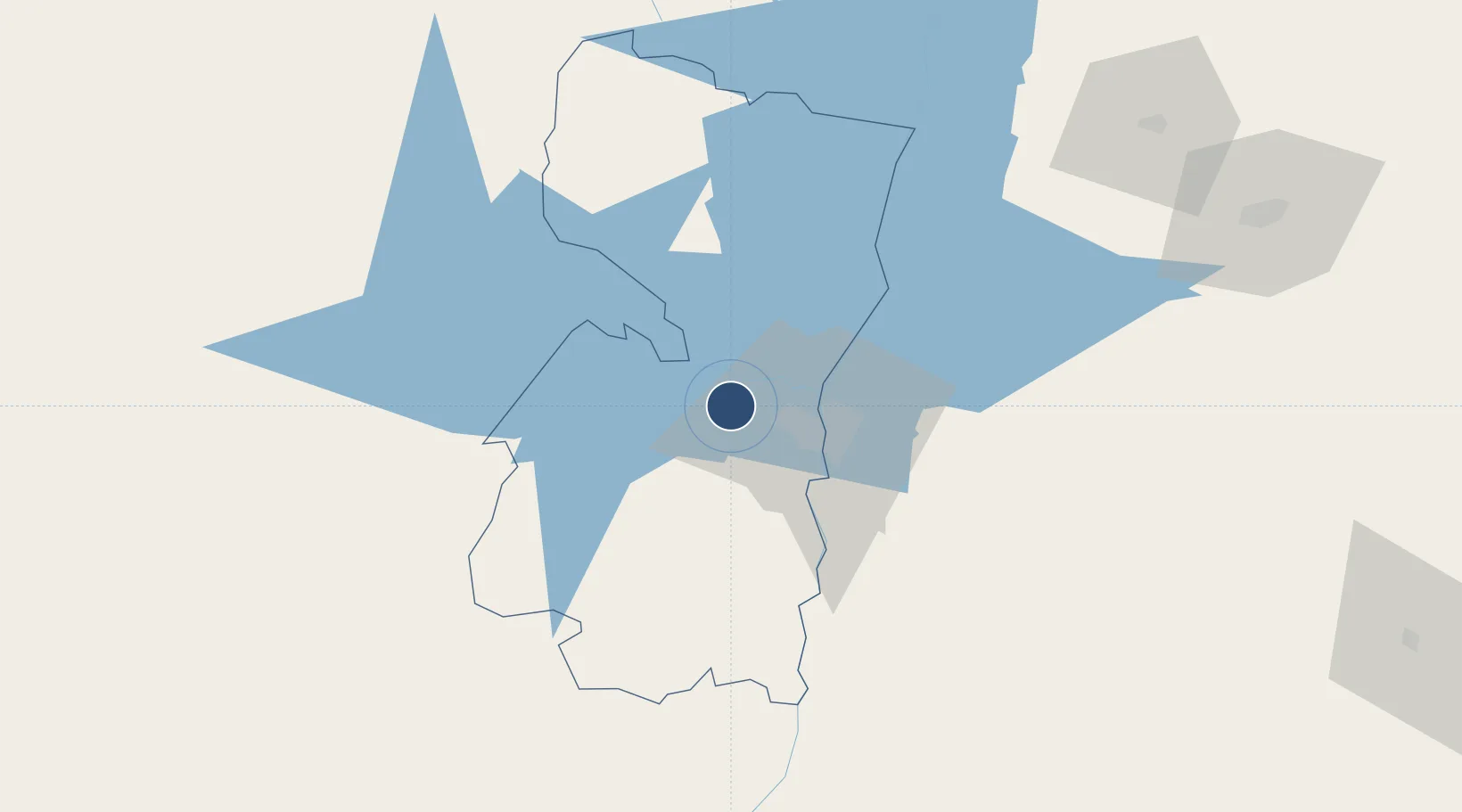
-25.4572°, -54.8395°
11,154 ft
Longest runway
1
Runways
846 ft
Elevation

Runway & Layout

Guaraní International Airport runway & taxiway layout
Runway & taxiway layout — OpenStreetMap (ODbL) / OurAirports

Radio Frequencies

TWR
118.1 MHz
GND
121.7 MHz
APP
119.3 MHz
OurAirports

Navaids

ALG NDB Ciudad Del Este 293 kHz
CDE NDB Ciudad Del Este 200 kHz
VES VOR-DME Ciudad Del Este 116.30 MHz
OurAirports

Runways · 1

RunwayDimensions SurfaceTrue headingLit
05/23 11,154 × 148ft Asphalt 041°
OurAirports

Airport Specifications

IATA code
AGT
OurAirports
ICAO code
SGES
OurAirports
Airport class
Large airport
OurAirports
Scheduled service
Yes
OurAirports
Runway surface
Asphalt
OurAirports
Served city
Ciudad del Este
OurAirports

Location

Location of SGES
Natural Earth 10m (public domain) · Alto Paraná · SGES · -25.46, -54.84GoogleOSMYandex

Nearby Logistics Neighbours

Airports
  1. 1Itaipú Airport23 km
  2. 2Cataratas International Airport38 km
  3. 3Cataratas Del Iguazú International Airport48 km
  4. 4Cooperativa Lar Heliport80 km
  5. 5Toledo - Luiz Dalcanale Filho Municipal Airport144 km
Nearest neighbours — logibook spatial index (haversine) over the source coordinates
Cities
  1. 1Ciudad del Este15 km
  2. 2Foz do Iguaçu27 km
  3. 3Santa Terezinha de Itaipu46 km
  4. 4Puerto Wanda62 km
  5. 5Santa Helena85 km
Nearest neighbours — logibook spatial index (haversine) over the source coordinates
Ports
  1. 1Puerto De Asuncion287 km
  2. 2Porto Alegre620 km
  3. 3Sao Francisco627 km
  4. 4Paranagua635 km
  5. 5Itajai640 km
Nearest neighbours — logibook spatial index (haversine) over the source coordinates
Trade Zones
  1. 1Zona Franca Global13 km
  2. 2Zona Franca Internacional14 km
  3. 3Zona Franca Puerto Iguazu Free Trade Zone32 km
  4. 4ZPE de Bataguassú (MS)486 km
  5. 5Rivera Free Zone614 km
Nearest neighbours — logibook spatial index (haversine) over the source coordinates
DatabookThe Record of Consolidated Knowledge
Paraguay beyond logistics?
Browse databook

All Sources

AirportsOurAirports
Public domain
Portsthe NGA World Port Index
Public domain (US gov)
LocationsUN/LOCODE
UN/LOCODE — free
Trade Zonesthe World Bank SEZ database
CC BY 4.0
Trade ZonesOpen Zone Map
CC BY
InfrastructureOpenStreetMap
ODbL 1.0
← Paraguay airports