Medium airport · Paraguay
Itaipú AirportSGIB
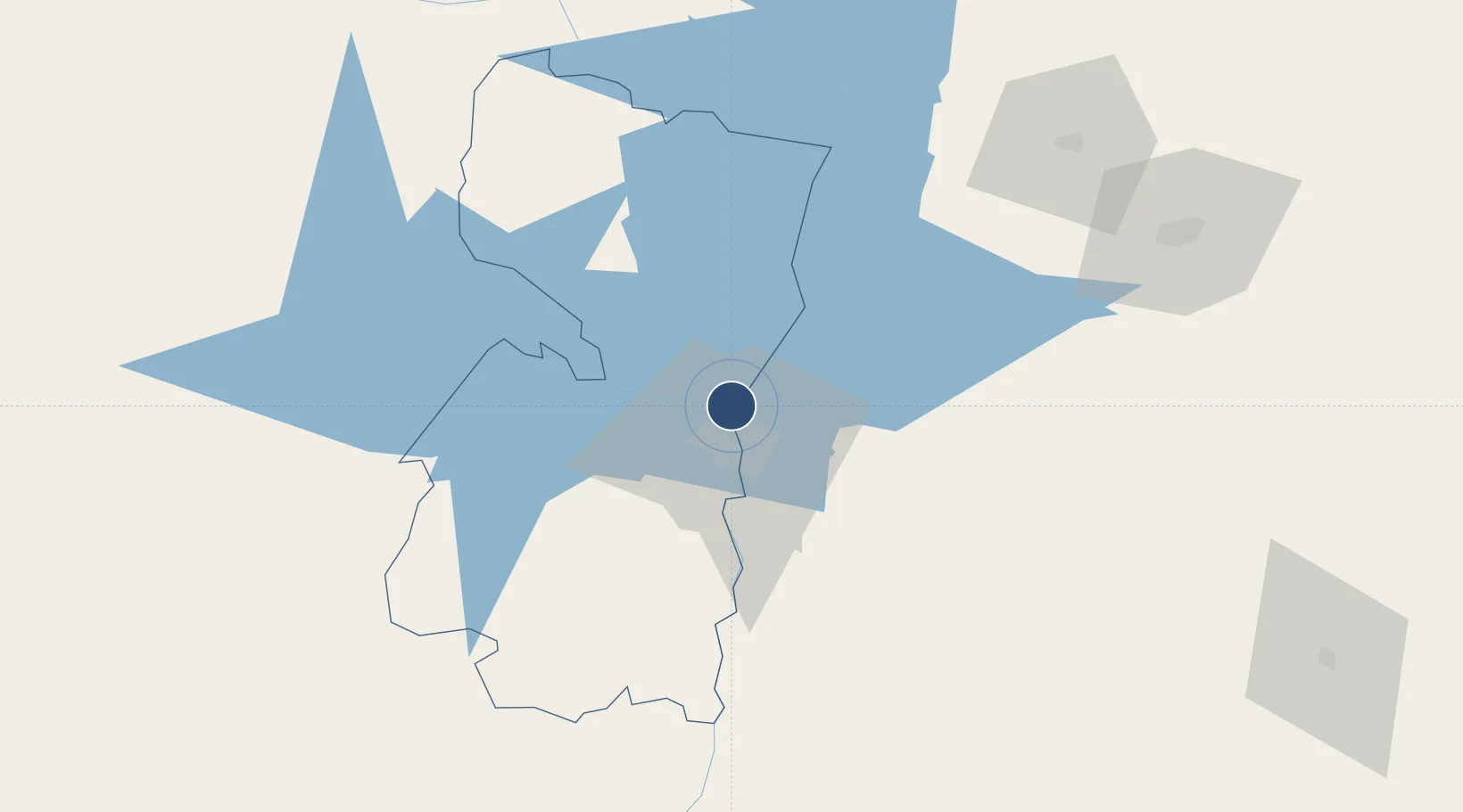
-25.4078°, -54.6195°
4,987 ft
Longest runway
1
Runways
762 ft
Elevation
Runway & Layout

Radio Frequencies
TWR
119.3 MHz
GUARANI APP
RDO
118.5 MHz
Navaids
ITU NDB Itaipu 225 kHz
Runways · 1
| Runway | Dimensions | Surface | True heading | Lit |
|---|---|---|---|---|
| 03/21 | 4,987 × 75ft | Asphalt | 019° | ✓ |
Airport Specifications
ICAO code
SGIB
Airport class
Medium airport
Scheduled service
No
Runway surface
Asphalt
Served city
Itaipú
Location
Nearby Logistics Neighbours
Airports
Cities
- 1Ciudad del Este12 km
- 2Foz do Iguaçu14 km
- 3Santa Terezinha de Itaipu24 km
- 4Puerto Wanda62 km
- 5Santa Helena68 km
Ports
- 1Puerto De Asuncion308 km
- 2Sao Francisco606 km
- 3Paranagua613 km
- 4Porto Alegre613 km
- 5Itajai621 km
Trade Zones
- 1Zona Franca Internacional13 km
- 2Zona Franca Global14 km
- 3Zona Franca Puerto Iguazu Free Trade Zone22 km
- 4ZPE de Bataguassú (MS)471 km
- 5Rivera Free Zone622 km
DatabookThe Record of Consolidated Knowledge
Paraguay beyond logistics?