Channel & Berth Profile
Pilotage, Tugs & Services
Pilotage compulsoryYES
Pilotage availableYES
Pilotage advisableYES
Tug assistanceYES
Potable waterYES
Diesel bunkersYES
MedicalYES
Garbage disposalNO
Facilities & Capabilities
Container—
Ro-Ro—
Liquid bulk—
Dry bulk—
Oil terminal—
Break bulk—
Dry dockNO
RepairsNO
BunkeringYES
Rail linkYES
Dangerous cargo—
ISPS security—
Harbour Specifications
Harbour size
Medium
Harbour type
River (Natural)
Shelter
Excellent
Water body
South Atlantic Ocean
Tidal range
1 m
Overhead limit
Yes
Pilotage
Yes
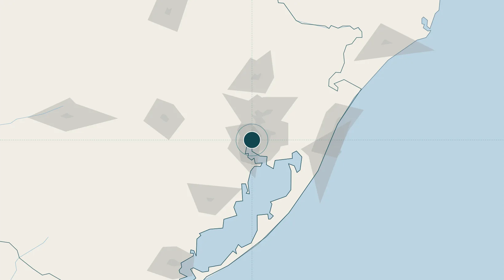
Location
Nearby Logistics Neighbours
Ports
- 1Tramandai106 km
- 2Pelotas221 km
- 3Rio Grande238 km
- 4Laguna293 km
- 5Imbituba320 km
Cities
- 1Guaíba10 km
- 2Canoas15 km
- 3Esteio23 km
- 4Charqueadas38 km
- 5Novo Hamburgo41 km
Airports
Trade Zones
- 1ZPE de Rio Grande (RS)245 km
- 2ZPE de Imbituba (SC)375 km
- 3Rivera Free Zone426 km
- 4Zona Franca Puerto Iguazu Free Trade Zone592 km
- 5Zona Franca Internacional609 km
DatabookThe Record of Consolidated Knowledge
Brazil beyond logistics?