UN/LOCODE hub · Paraguay
PYAGT
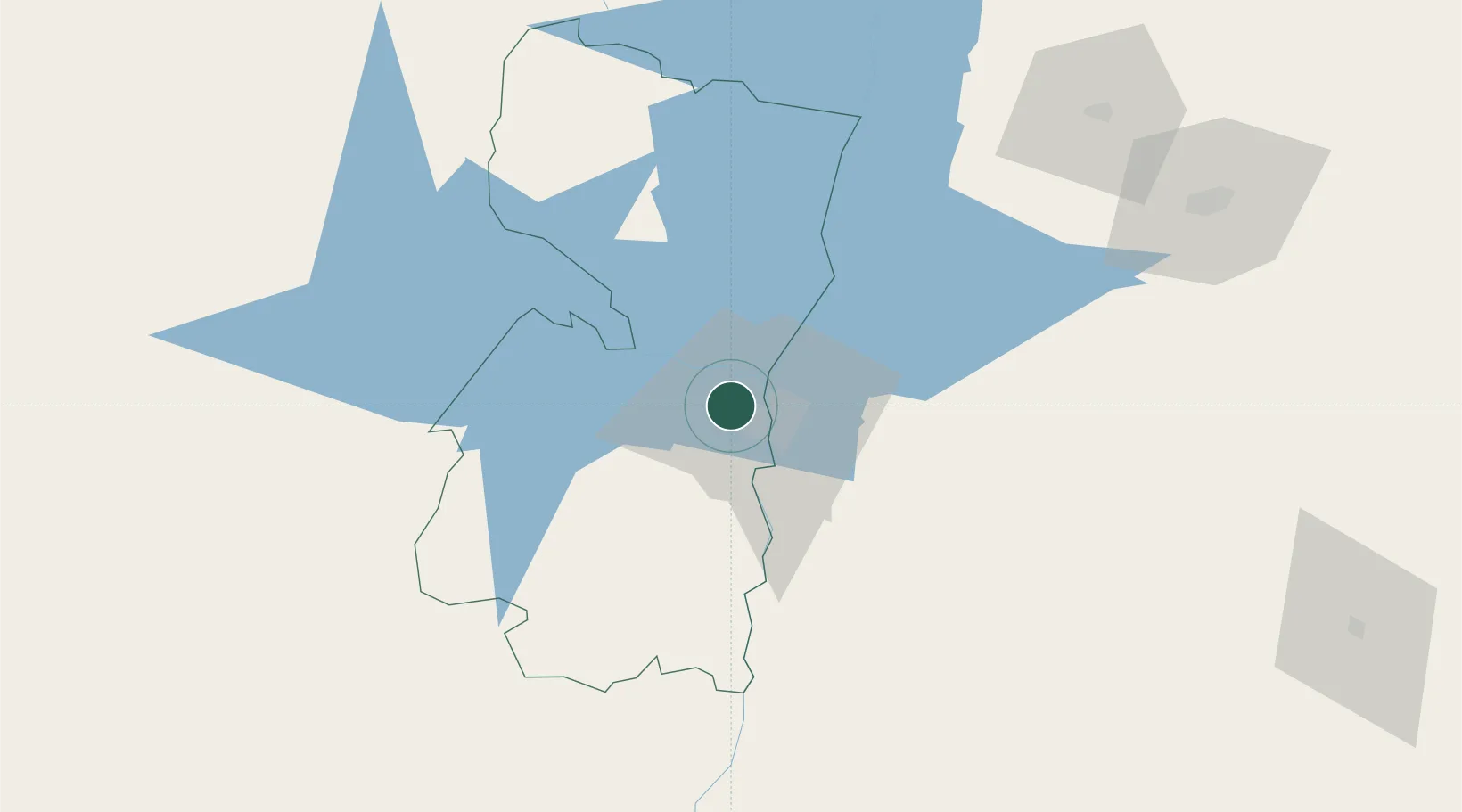
Ciudad del Este
-25.4879°, -54.6979°
301,815
Population
2
Transport functions
Transport Functions
Port
Airport
Hub Profile
Place type
Regional capital
Region
Alto Paraná Department
Population
301,815
Time zone
America/Asuncion
Elevation
197 m
Logistics facilities
1
Location
Nearby Logistics Neighbours
Cities
- 1Foz do Iguaçu13 km
- 2Santa Terezinha de Itaipu32 km
- 3Puerto Wanda54 km
- 4Santa Helena80 km
- 5Capanema92 km
Ports
- 1Puerto De Asuncion301 km
- 2Porto Alegre610 km
- 3Sao Francisco613 km
- 4Paranagua620 km
- 5Itajai626 km
Airports
Trade Zones
DatabookThe Record of Consolidated Knowledge
Paraguay beyond logistics?