UN/LOCODE hub · Argentina
ARPWA

Puerto Wanda

-25.9667°, -54.6000°
1
Transport functions

Transport Functions

Port
UN/LOCODE

Hub Profile

Place type
Populated place
GeoNames
Region
Misiones
GeoNames
Time zone
America/Argentina/Cordoba
GeoNames
Elevation
184 m
GeoNames

Location

Location of ARPWA
Natural Earth 10m (public domain) · Misiones · ARPWA · -25.97, -54.60GoogleOSMYandex

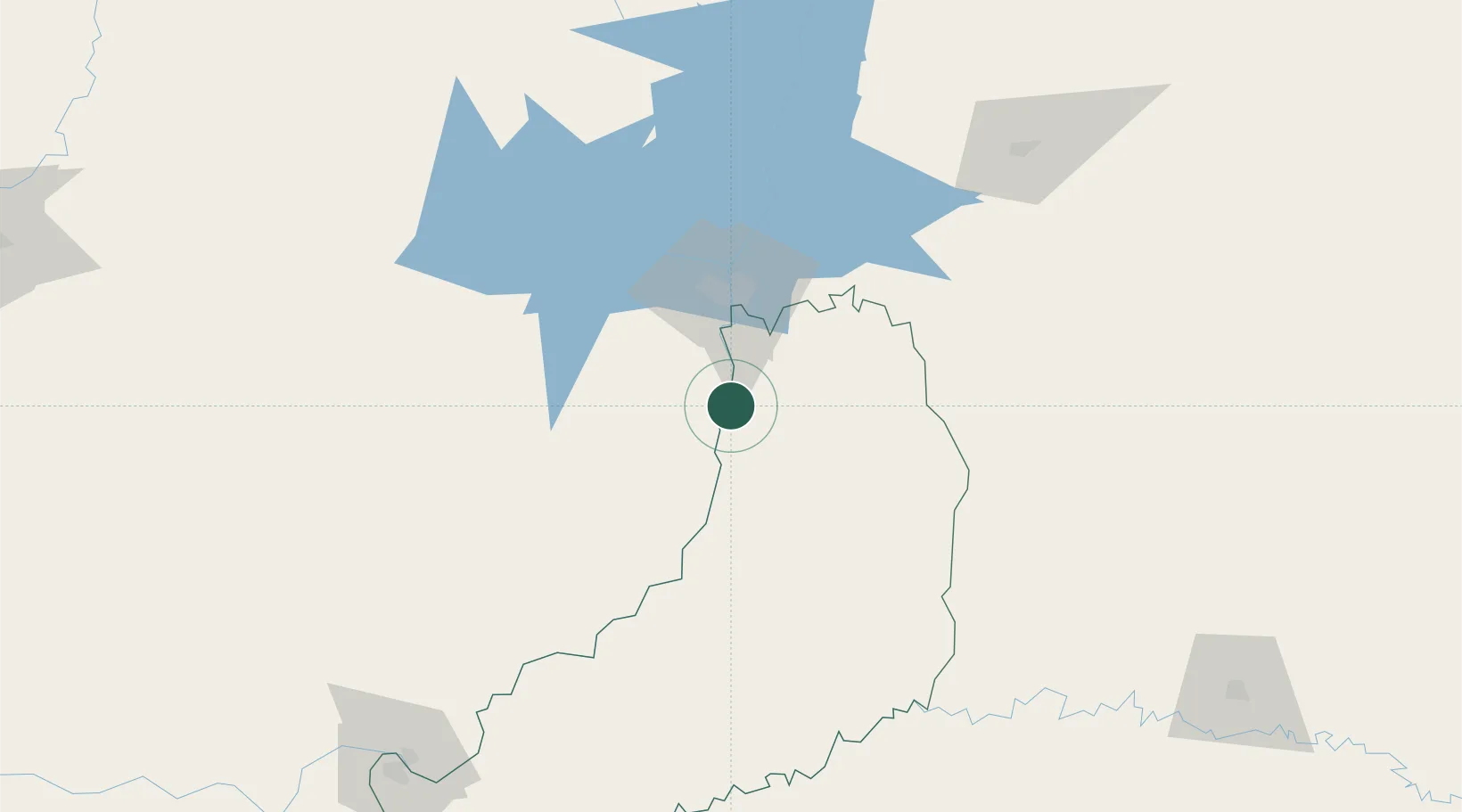
Nearby Logistics Neighbours

Cities
  1. 1Puerto Eldorado43 km
  2. 2Foz do Iguaçu48 km
  3. 3Ciudad del Este54 km
  4. 4Santa Terezinha de Itaipu63 km
  5. 5Capanema87 km
Nearest neighbours — logibook spatial index (haversine) over the source coordinates
Ports
  1. 1Puerto De Asuncion319 km
  2. 2Porto Alegre560 km
  3. 3Sao Francisco597 km
  4. 4Itajai603 km
  5. 5Paranagua612 km
Nearest neighbours — logibook spatial index (haversine) over the source coordinates
Airports
  1. 1Cataratas Del Iguazú International Airport29 km
  2. 2Cataratas International Airport43 km
  3. 3Guaraní International Airport62 km
  4. 4Itaipú Airport62 km
  5. 5Cooperativa Lar Heliport94 km
Nearest neighbours — logibook spatial index (haversine) over the source coordinates
Trade Zones
  1. 1Zona Franca Puerto Iguazu Free Trade Zone41 km
  2. 2Zona Franca Internacional54 km
  3. 3Zona Franca Global54 km
  4. 4ZPE de Bataguassú (MS)525 km
  5. 5Rivera Free Zone561 km
Nearest neighbours — logibook spatial index (haversine) over the source coordinates
DatabookThe Record of Consolidated Knowledge
Argentina beyond logistics?
Browse databook

All Sources

LocationsUN/LOCODE
UN/LOCODE — free
Portsthe NGA World Port Index
Public domain (US gov)
AirportsOurAirports
Public domain
Trade Zonesthe World Bank SEZ database
CC BY 4.0
Trade ZonesOpen Zone Map
CC BY
← Argentina locations