Free Zone · Uruguay

Rivera Free Zone Active
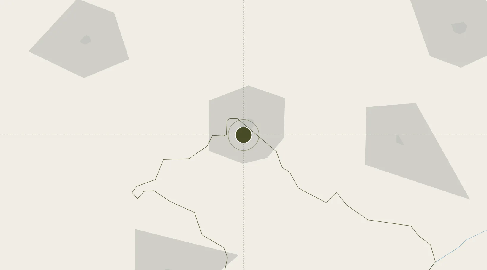
-30.9426°, -55.5557°
10 ha
Zone area
241.1 km
Nearest port
8.4 km
Nearest airport

Gateway access

Nearest neighbours — logibook spatial index (haversine) over the source coordinates

Zone profile

Zone type
Free Zone
the World Bank SEZ database
Region
Rivera
the World Bank SEZ database
Status
Active
the World Bank SEZ database
Established
1993
the World Bank SEZ database
Management
Private management
the World Bank SEZ database
Operator
Private concession company
the World Bank SEZ database
Regulatory authority
National Free Zones Bureau
the World Bank SEZ database
Legal framework
Law 15,921 on Free Zones
the World Bank SEZ database

Location

Location of URY4
Natural Earth 10m (public domain) · Rivera · URY4 · -30.94, -55.56GoogleOSMYandex

Fiscal & incentives

Corporate tax
25%
the World Bank SEZ database
Tax relief
100% exempt
the World Bank SEZ database
Relief duration
Perpetual
the World Bank SEZ database
VAT
100% exempt from VAT
the World Bank SEZ database
Import duty (inputs)
100% exempt
the World Bank SEZ database
Import duty (capex)
100% exempt
the World Bank SEZ database
Profit repatriation
No exemption
the World Bank SEZ database
Capital gains
No exemption
the World Bank SEZ database
Withholding tax
100% exempt from dividend tax
the World Bank SEZ database
Min. investment
None
the World Bank SEZ database
Min. export
0%
the World Bank SEZ database
Employment incentive
No exemption
the World Bank SEZ database
Developer incentive
No established framework
the World Bank SEZ database

Nearby Logistics Neighbours

Ports
  1. 1Concordia241 km
  2. 2Colon282 km
  3. 3Paysandu283 km
  4. 4Concepcion Del Uruguay306 km
  5. 5Pelotas320 km
Nearest neighbours — logibook spatial index (haversine) over the source coordinates
Airports
  1. 1Pres. Gral. Óscar D. Gestido Binational Airport8 km
  2. 2Comandante Gustavo Kraemer Airport146 km
  3. 3Rubem Berta Airport192 km
  4. 4Paso De Los Libres Airport207 km
  5. 5Monte Caseros Airport213 km
Nearest neighbours — logibook spatial index (haversine) over the source coordinates
Cities
  1. 1Sant'Ana do Livramento7 km
  2. 2Quaraí107 km
  3. 3Cacequi139 km
  4. 4Aceguá167 km
  5. 5Uruguaiana197 km
Nearest neighbours — logibook spatial index (haversine) over the source coordinates
Trade Zones
  1. 1ZPE de Rio Grande (RS)345 km
  2. 2UPM Fray Bentos Free Zone351 km
  3. 3Zona Franca UPM352 km
  4. 4Florida Free Zone358 km
  5. 5Nueva Helvecia Free Zone407 km
Nearest neighbours — logibook spatial index (haversine) over the source coordinates
DatabookThe Record of Consolidated Knowledge
Uruguay beyond logistics?
Browse databook

All Sources

Trade Zonesthe World Bank SEZ database
CC BY 4.0
Portsthe NGA World Port Index
Public domain (US gov)
AirportsOurAirports
Public domain
LocationsUN/LOCODE
UN/LOCODE — free
← Uruguay trade zones