UN/LOCODE hub · Brazil
BRIGU
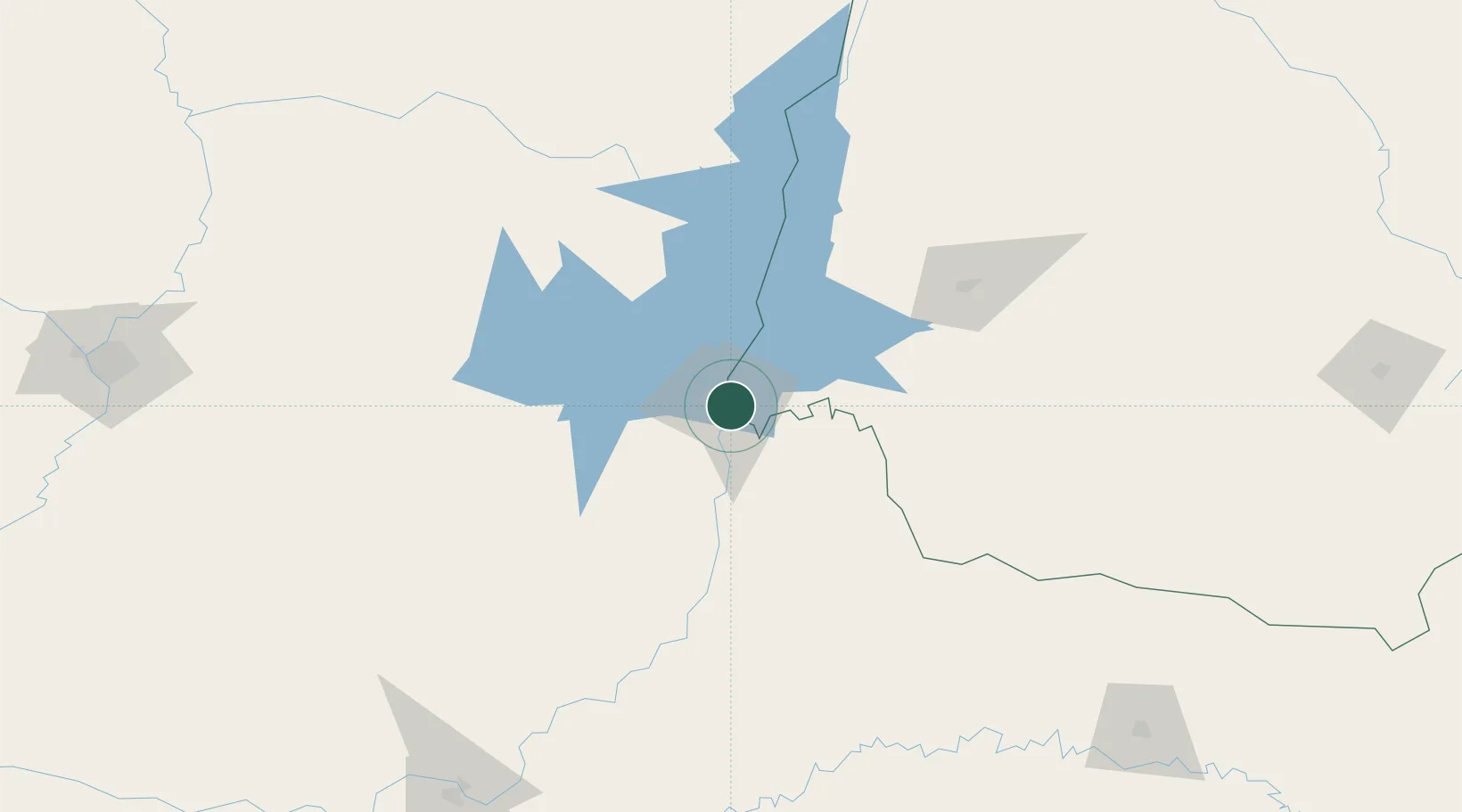
Foz do Iguaçu
-25.5333°, -54.5833°
258,248
Population
4
Transport functions
Transport Functions
Port
Road
Airport
Multimodal
Hub Profile
Place type
Provincial seat
Region
Paraná
Population
258,248
Time zone
America/Sao_Paulo
Elevation
179 m
Location
Nearby Logistics Neighbours
Cities
- 1Ciudad del Este13 km
- 2Santa Terezinha de Itaipu23 km
- 3Puerto Wanda48 km
- 4Capanema80 km
- 5Santa Helena80 km
Ports
- 1Puerto De Asuncion313 km
- 2Porto Alegre599 km
- 3Sao Francisco601 km
- 4Paranagua609 km
- 5Itajai613 km
Airports
Trade Zones
- 1Zona Franca Puerto Iguazu Free Trade Zone8 km
- 2Zona Franca Internacional13 km
- 3Zona Franca Global14 km
- 4ZPE de Bataguassú (MS)481 km
- 5Rivera Free Zone609 km
DatabookThe Record of Consolidated Knowledge
Brazil beyond logistics?