Transport Functions
Port
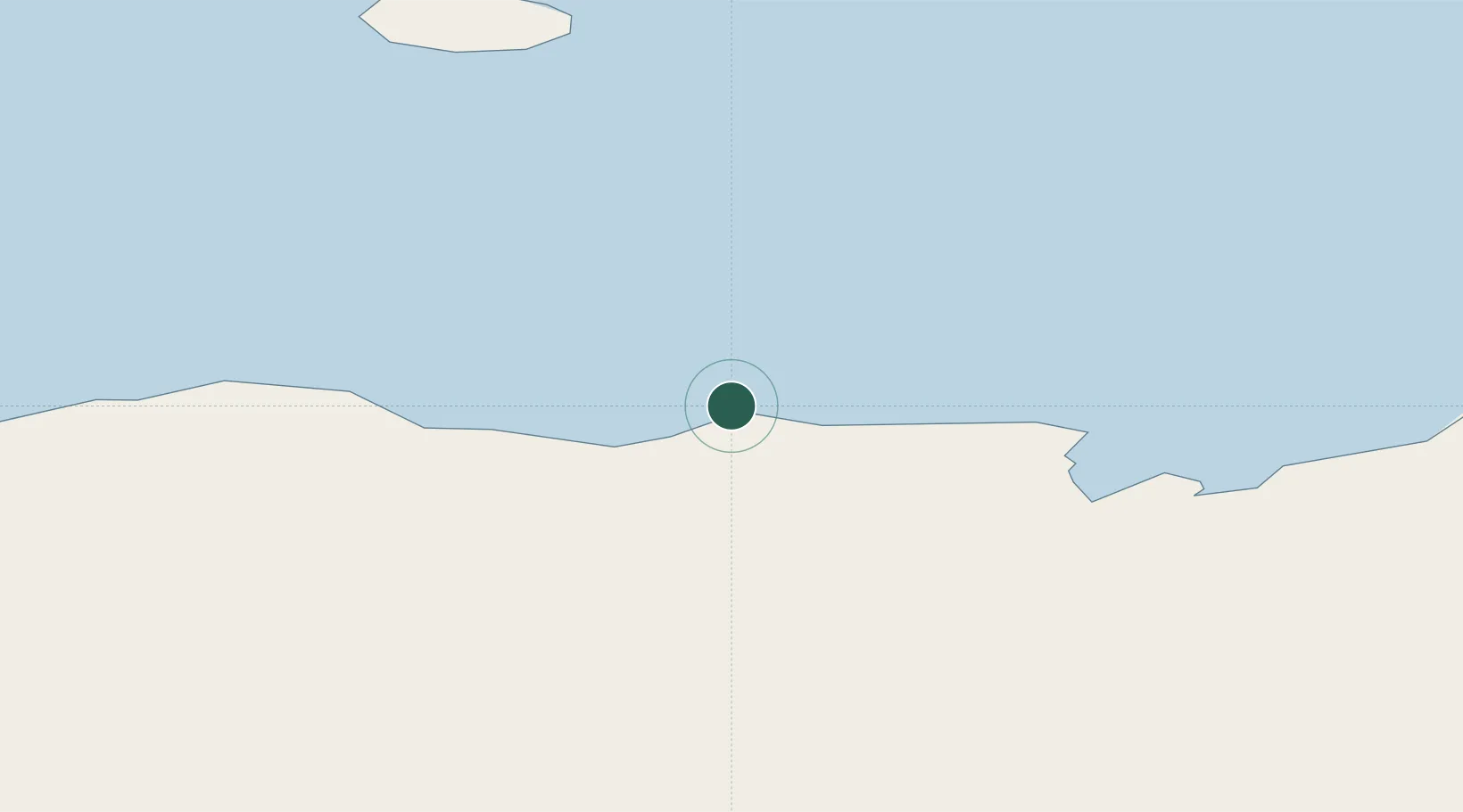
Location
Nearby Logistics Neighbours
Cities
- 1Sukabumi628 km
- 2Davis Station674 km
- 3Zhongshan758 km
- 4Law Base758 km
- 5Progress759 km
Airports
- 1Vostok Skiway1395 km
- 2Concordia Skyway1432 km
- 3Albany Airport3865 km
- 4Busselton Margaret River Regional Airport3938 km
- 5Esperance Airport4111 km
Trade Zones
- 1Latrobe Valley Economic Growth Zone4564 km
- 2Ehoala Park5592 km
- 3Mon Tresor Free Zone5709 km
- 4Free Zone Mauritius5742 km
- 5The Mauritius Free Port5746 km
DatabookThe Record of Consolidated Knowledge
Antarctica beyond logistics?