Free Zone · Madagascar

Ehoala Park Under Development
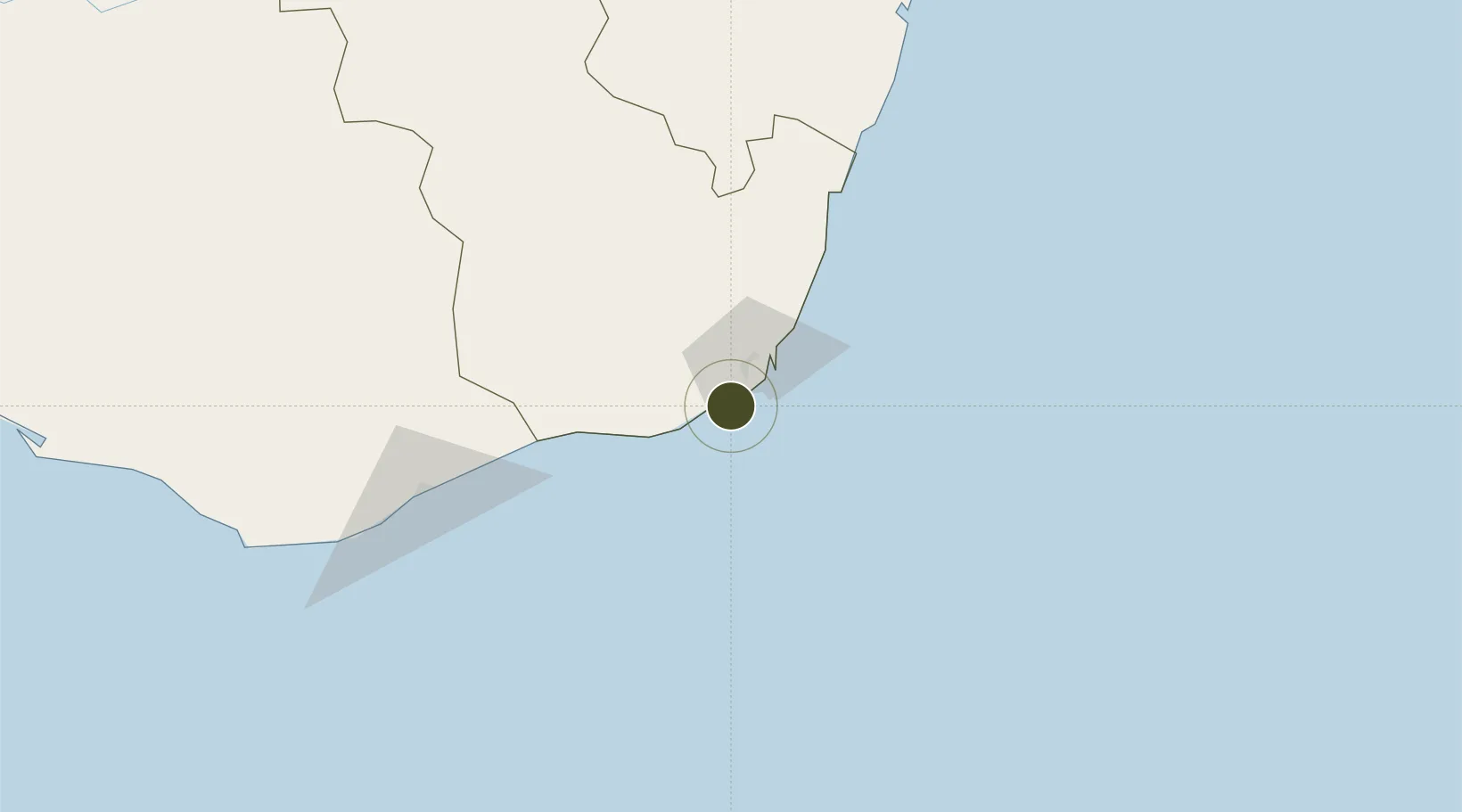
-25.0676°, 46.9600°
440 ha
Zone area
5.5 km
Nearest port
3.3 km
Nearest airport

Gateway access

Nearest neighbours — logibook spatial index (haversine) over the source coordinates

Zone profile

Zone type
Free Zone
the World Bank SEZ database
Specialization
Agriculture
the World Bank SEZ database
Region
Anosy
the World Bank SEZ database
Status
Under Development
the World Bank SEZ database
Established
2015
the World Bank SEZ database
Management
PPP
the World Bank SEZ database
Operator
Rio Tinto (Port d'Ehoala SA); the Port Agency, Maritime and Fluviale de Madagascar (APMF)
the World Bank SEZ database
Regulatory authority
Economic Development Board of Madagascar
the World Bank SEZ database
Legal framework
Law No 2007-037 on Free Zones and Enterprises in Madagascar
the World Bank SEZ database

Location

Location of MDG1
Natural Earth 10m (public domain) · Anosy · MDG1 · -25.07, 46.96GoogleOSMYandex

Fiscal & incentives

Corporate tax
20%
the World Bank SEZ database
Tax relief
100% exempt
the World Bank SEZ database
Relief duration
2 to 5 years
the World Bank SEZ database
VAT
100% exempt from VAT on inputs
the World Bank SEZ database
Import duty (inputs)
100% exempt
the World Bank SEZ database
Import duty (capex)
100% exempt
the World Bank SEZ database
Profit repatriation
No exemption
the World Bank SEZ database
Capital gains
No exemption
the World Bank SEZ database
Withholding tax
No exemption
the World Bank SEZ database
Min. investment
None
the World Bank SEZ database
Min. export
95%
the World Bank SEZ database
Employment incentive
No exemption
the World Bank SEZ database
Developer incentive
Yes
the World Bank SEZ database

Nearby Logistics Neighbours

Ports
  1. 1Tolanaro6 km
  2. 2Manakara346 km
  3. 3Toliara384 km
  4. 4Mananjary447 km
  5. 5Morondava598 km
Nearest neighbours — logibook spatial index (haversine) over the source coordinates
Airports
  1. 1Tôlanaro Airport3 km
  2. 2Manakara Airport345 km
  3. 3Toliara Airport377 km
  4. 4Fianarantsoa Airport404 km
  5. 5Mananjary Airport453 km
Nearest neighbours — logibook spatial index (haversine) over the source coordinates
Cities
  1. 1Ehoala1 km
  2. 2Amboasary Sud58 km
  3. 3Tulear (Toliara)383 km
  4. 4Tamatave (Toamasina)810 km
  5. 5Saint-Paul963 km
Nearest neighbours — logibook spatial index (haversine) over the source coordinates
Trade Zones
  1. 1Betsinjaka Special Economic Zone380 km
  2. 2Moramanga Textile City Zone694 km
  3. 3Tsarakofafa Special Economic Zone808 km
  4. 4Toamasina Autonomous Port810 km
  5. 5Free Zone Mauritius1206 km
Nearest neighbours — logibook spatial index (haversine) over the source coordinates
DatabookThe Record of Consolidated Knowledge
Madagascar beyond logistics?
Browse databook

All Sources

Trade Zonesthe World Bank SEZ database
CC BY 4.0
Portsthe NGA World Port Index
Public domain (US gov)
AirportsOurAirports
Public domain
LocationsUN/LOCODE
UN/LOCODE — free
← Madagascar trade zones