Medium airport · Angola

Welwitschia Mirabilis International AirportFNMO
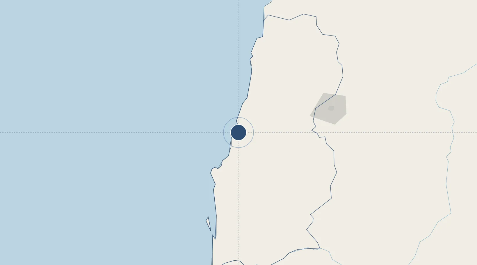
-15.2612°, 12.1468°
8,202 ft
Longest runway
1
Runways
210 ft
Elevation

Runway & Layout

Welwitschia Mirabilis International Airport runway & taxiway layout
Runway & taxiway layout — OpenStreetMap (ODbL) / OurAirports

Radio Frequencies

AFIS
118.1 MHz
OurAirports

Navaids

MO NDB Namibe 358 kHz
VMO VOR-DME Namibe 114.10 MHz
OurAirports

Runways · 1

RunwayDimensions SurfaceTrue headingLit
08/26 8,202 × 148ft Asphalt 066°
OurAirports

Airport Specifications

IATA code
MSZ
OurAirports
ICAO code
FNMO
OurAirports
Airport class
Medium airport
OurAirports
Scheduled service
Yes
OurAirports
Runway surface
Asphalt
OurAirports
Served city
Moçâmedes
OurAirports

Location

Location of FNMO
Natural Earth 10m (public domain) · Namibe · FNMO · -15.26, 12.15GoogleOSMYandex

Nearby Logistics Neighbours

Airports
  1. 1Lubango Mukanka International Airport158 km
  2. 2Benguela Airport325 km
  3. 3Catumbela Airport342 km
  4. 4Xangongo Airport344 km
  5. 5Ngjiva Pereira Airport427 km
Nearest neighbours — logibook spatial index (haversine) over the source coordinates
Cities
  1. 1Porto Saco (Portosalazar)14 km
  2. 2Baba49 km
  3. 3River Sao Nicolau114 km
  4. 4Baía dos Tigres155 km
  5. 5Cuio269 km
Nearest neighbours — logibook spatial index (haversine) over the source coordinates
Ports
  1. 1Namibe7 km
  2. 2Lobito360 km
  3. 3Sumbe487 km
  4. 4Porto Amboim533 km
  5. 5Luanda728 km
Nearest neighbours — logibook spatial index (haversine) over the source coordinates
Trade Zones
  1. 1Catumbela Industrial Development Pole352 km
  2. 2Viana Industrial Development Pole713 km
  3. 3Luanda-Bengo Special Economic Zone716 km
  4. 4Walvis Bay (Nara Namib) Export Processing Zone890 km
  5. 5Fútila Industrial Development Pole1093 km
Nearest neighbours — logibook spatial index (haversine) over the source coordinates
DatabookThe Record of Consolidated Knowledge
Angola beyond logistics?
Browse databook

All Sources

AirportsOurAirports
Public domain
Portsthe NGA World Port Index
Public domain (US gov)
LocationsUN/LOCODE
UN/LOCODE — free
Trade Zonesthe World Bank SEZ database
CC BY 4.0
Trade ZonesOpen Zone Map
CC BY
InfrastructureOpenStreetMap
ODbL 1.0
← Angola airports