UN/LOCODE hub · United Arab Emirates
AEQWE

Jebel Ali Free Zone

25.0000°, 55.0500°
2
Transport functions

Transport Functions

Port
Road
UN/LOCODE

Hub Profile

Region
DU
GeoNames

Location

Location of AEQWE
Natural Earth 10m (public domain) · DU · AEQWE · 25.00, 55.05GoogleOSMYandex

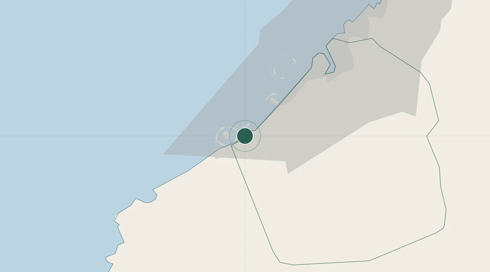
Nearby Logistics Neighbours

Cities
  1. 1Jebel Ali3 km
  2. 2Jebel Ali Industrial Area7 km
  3. 3Jebel Ali Free Zone (South)9 km
  4. 4Dubai16 km
  5. 5Hassyan19 km
Nearest neighbours — logibook spatial index (haversine) over the source coordinates
Ports
  1. 1Mina Jabal Ali2 km
  2. 2Dubayy39 km
  3. 3Ash Shariqah53 km
  4. 4Ajman60 km
  5. 5Al Hamriyah Lpg Terminal68 km
Nearest neighbours — logibook spatial index (haversine) over the source coordinates
Airports
  1. 1Al Maktoum International Airport16 km
  2. 2Al Minhad Air Base32 km
  3. 3Dubai International Airport43 km
  4. 4Sharjah International Airport60 km
  5. 5Zayed International Airport74 km
Nearest neighbours — logibook spatial index (haversine) over the source coordinates
Trade Zones
  1. 1Jebel Ali Free Zone2 km
  2. 2Dubai Techno Park7 km
  3. 3Dubai Multi Commodities Centre or Jumeirah Lakes Towers Free Zone12 km
  4. 4Dubai International Humanitarian City12 km
  5. 5Dubai South12 km
Nearest neighbours — logibook spatial index (haversine) over the source coordinates
DatabookThe Record of Consolidated Knowledge
United Arab Emirates beyond logistics?
Browse databook

All Sources

LocationsUN/LOCODE
UN/LOCODE — free
Portsthe NGA World Port Index
Public domain (US gov)
AirportsOurAirports
Public domain
Trade Zonesthe World Bank SEZ database
CC BY 4.0
Trade ZonesOpen Zone Map
CC BY
← United Arab Emirates locations