Medium airport · China
Wuhai AirportZBUH
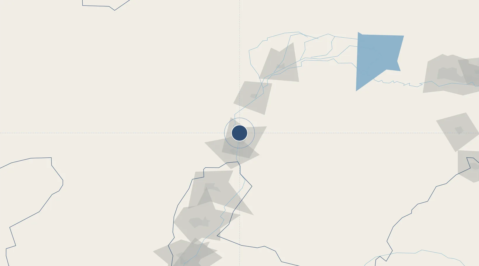
39.7934°, 106.7993°
8,530 ft
Longest runway
1
Runways
3,650 ft
Elevation
Runway & Layout

Radio Frequencies
GP 19
329.3 MHz
GP
LOC 19
108.9 MHz
LOC19 ILS CAT I
WUA VOR/DME
113.9 MHz
VOR/DME
WuHai TWR
118.05 MHz
WUA Tower Frequency
Runways · 1
| Runway | Dimensions | Surface | True heading | Lit |
|---|---|---|---|---|
| 01/19 | 8,530 × 148ft | CONC | 012° | ✓ |
Airport Specifications
IATA code
WUA
ICAO code
ZBUH
Airport class
Medium airport
Scheduled service
Yes
Runway surface
CONC
Served city
Wuhai
Location
Nearby Logistics Neighbours
Airports
Cities
- 1Bayannur115 km
- 2Yinchuan156 km
- 3Baotou287 km
- 4Gangimaodu301 km
- 5Bayan Obo345 km
Ports
- 1Tianjin Xin Gang952 km
- 2Tangshan (Jingtang)1050 km
- 3Qinhuangdao1093 km
- 4Longkou Gang1193 km
- 5Huludao Gang1207 km
DatabookThe Record of Consolidated Knowledge
China beyond logistics?