Diversified Zone · China
Alxa High-tech Industrial Development Zone Active
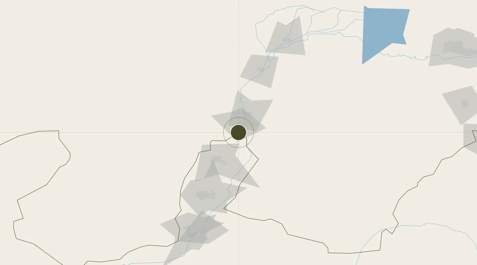
39.4075°, 106.6878°
1,000 ha
Zone area
961.2 km
Nearest port
44.0 km
Nearest airport
Gateway access
Zone profile
Zone type
Diversified Zone
Region
Inner Mongol
Status
Active
Management
Public
Operator
Management Committee of Alxa High-tech Industrial Development Zone
Legal framework
On July 17, 2000, the People's Government of the Autonomous Region listed The Usutu Industrial Zone as the High-load energy industrial zone according to the document No. 168 [2000] of the People's Government of the Autonomous Region. On January 9, 2002, U
Location
Nearby Logistics Neighbours
Ports
- 1Tianjin Xin Gang961 km
- 2Tangshan (Jingtang)1060 km
- 3Qinhuangdao1107 km
- 4Longkou Gang1198 km
- 5Hankow1200 km
Airports
- 1Wuhai Airport44 km
- 2Alxa Left Banner Bayanhot Airport120 km
- 3Yinchuan Hedong International Airport123 km
- 4Bayannur Tianjitai Airport191 km
- 5Zhongwei Shapotou Airport244 km
Cities
- 1Yinchuan113 km
- 2Bayannur158 km
- 3Baotou313 km
- 4Gangimaodu345 km
- 5Bayan Obo381 km
DatabookThe Record of Consolidated Knowledge
China beyond logistics?