Diversified Zone · China
Wuhai Economic Development Zone Active
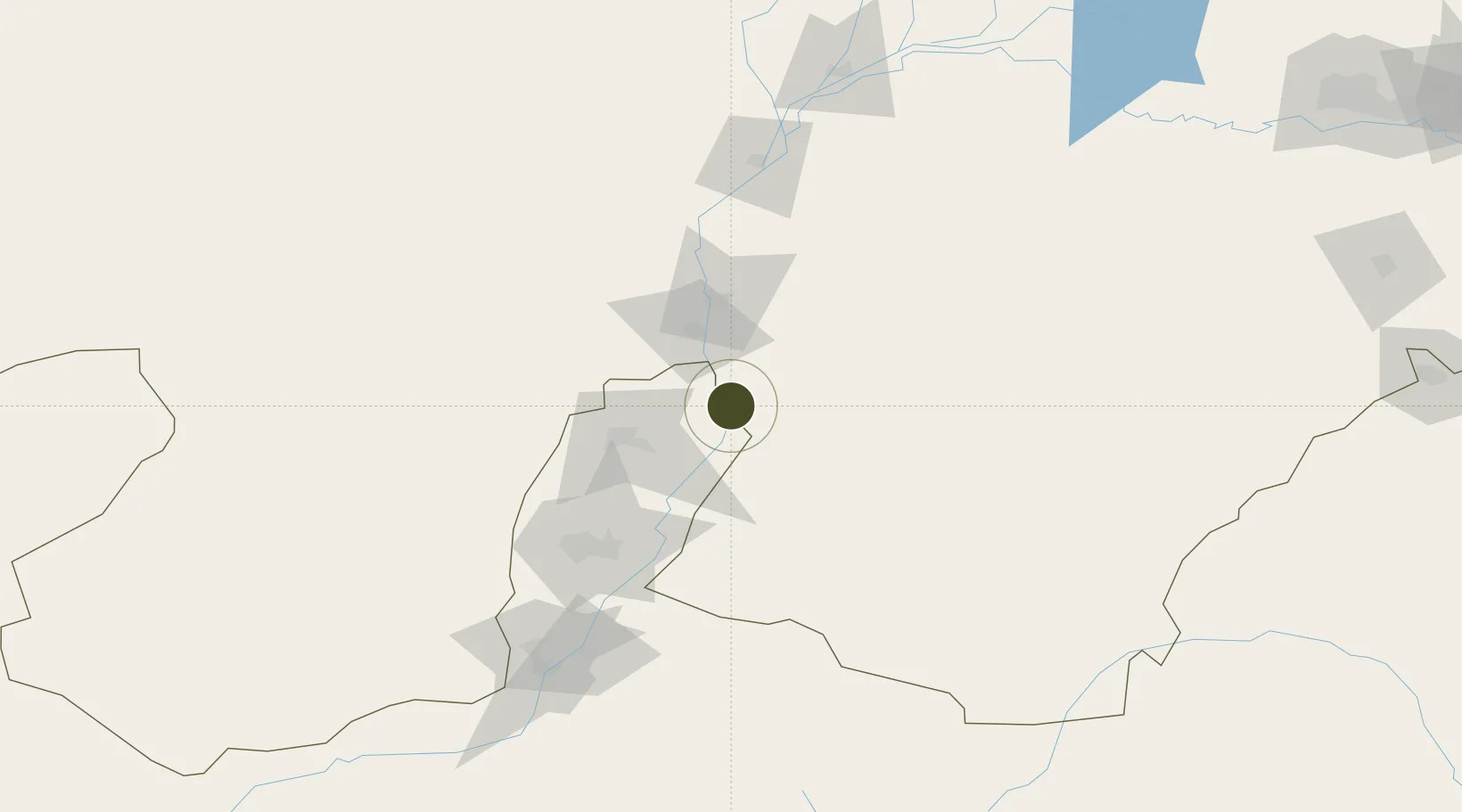
39.1608°, 106.8833°
4,328 ha
Zone area
945.1 km
Nearest port
70.7 km
Nearest airport
Gateway access
Zone profile
Zone type
Diversified Zone
Region
Inner Mongol
Status
Active
Management
Public
Operator
Management Commitiee
Legal framework
It was approved by the People's Government of Mongolia Autonomous Region in 1998
Location
Nearby Logistics Neighbours
Ports
- 1Tianjin Xin Gang945 km
- 2Tangshan (Jingtang)1045 km
- 3Qinhuangdao1094 km
- 4Hankow1168 km
- 5Longkou Gang1179 km
Airports
- 1Wuhai Airport71 km
- 2Yinchuan Hedong International Airport102 km
- 3Alxa Left Banner Bayanhot Airport121 km
- 4Bayannur Tianjitai Airport210 km
- 5Zhongwei Shapotou Airport232 km
Cities
- 1Yinchuan95 km
- 2Bayannur180 km
- 3Baotou312 km
- 4Gangimaodu368 km
- 5Bayin374 km
DatabookThe Record of Consolidated Knowledge
China beyond logistics?