Small airport · China

Ruad Zhongqi Hailiutu AirportZBUT

41.6944°, 108.3784°
4,675 ft
Elevation

Runway & Layout

Ruad Zhongqi Hailiutu Airport runway & taxiway layout
Runway & taxiway layout — OpenStreetMap (ODbL) / OurAirports

Airport Specifications

ICAO code
ZBUT
OurAirports
Airport class
Small airport
OurAirports
Scheduled service
Yes
OurAirports
Served city
Ruad Zhongqi (Urad Middle Banner)
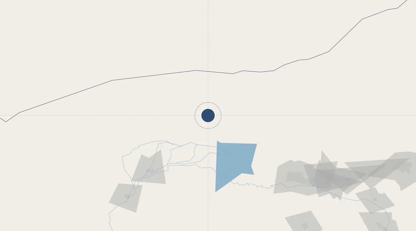
OurAirports

Location

Location of ZBUT
Natural Earth 10m (public domain) · Inner Mongol · ZBUT · 41.69, 108.38GoogleOSMYandex

Nearby Logistics Neighbours

Airports
  1. 1Bayannur Tianjitai Airport101 km
  2. 2Baotou Donghe International Airport185 km
  3. 3Wuhai Airport250 km
  4. 4Hohhot Bikeqi Air Base261 km
  5. 5Ordos Ejin Horo International Airport275 km
Nearest neighbours — logibook spatial index (haversine) over the source coordinates
Cities
  1. 1Gangimaodu106 km
  2. 2Bayan Obo132 km
  3. 3Bayannur136 km
  4. 4Baotou180 km
  5. 5Hohhot294 km
Nearest neighbours — logibook spatial index (haversine) over the source coordinates
Ports
  1. 1Tianjin Xin Gang856 km
  2. 2Tangshan (Jingtang)941 km
  3. 3Qinhuangdao965 km
  4. 4Huludao Gang1059 km
  5. 5Jinzhou Wan1068 km
Nearest neighbours — logibook spatial index (haversine) over the source coordinates
Trade Zones
  1. 1Wuyuan Industrial Park68 km
  2. 2Zhuozi Economic and Technological Development Zone120 km
  3. 3Urad Rear Banner Circular Economy Industrial Park153 km
  4. 4Jiuyuan Industrial Park158 km
  5. 5Shiguai Industrial Park158 km
Nearest neighbours — logibook spatial index (haversine) over the source coordinates
DatabookThe Record of Consolidated Knowledge
China beyond logistics?
Browse databook

All Sources

AirportsOurAirports
Public domain
Portsthe NGA World Port Index
Public domain (US gov)
LocationsUN/LOCODE
UN/LOCODE — free
Trade Zonesthe World Bank SEZ database
CC BY 4.0
Trade ZonesOpen Zone Map
CC BY
InfrastructureOpenStreetMap
ODbL 1.0
← China airports