Transport Functions
Rail
Road
Airport
Postal
Hub Profile
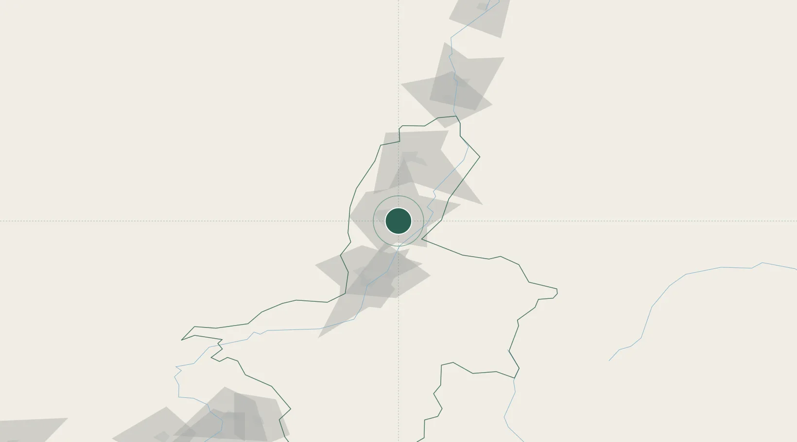
Place type
Regional capital
Region
Ningxia
Population
1,487,579
Time zone
Asia/Shanghai
Elevation
1,117 m
Location
Nearby Logistics Neighbours
Ports
- 1Tianjin Xin Gang1005 km
- 2Tangshan (Jingtang)1107 km
- 3Hankow1141 km
- 4Qinhuangdao1161 km
- 5Lanshan1224 km
Airports
DatabookThe Record of Consolidated Knowledge
China beyond logistics?