Large airport · China

Ordos Ejin Horo International AirportZBDS
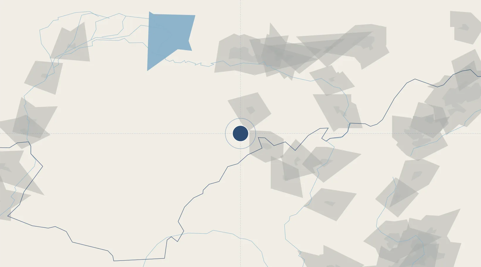
39.4935°, 109.8599°
10,499 ft
Longest runway
1
Runways
4,557 ft
Elevation

Runway & Layout

Ordos Ejin Horo International Airport runway & taxiway layout
Runway & taxiway layout — OpenStreetMap (ODbL) / OurAirports

Radio Frequencies

ATIS
126.8 MHz
Automatic Terminal Information Services Frequency
TWR
118.15 MHz
Ordos Tower Frequency
RWY 13 DME
110.1 MHz
IDS DME
RWY 13 ILS
110.1 MHz
IDS ILS
RWY 31 DME
108.7 MHz
IGG DME
RWY 31 ILS
108.7 MHz
IGG ILS
VOR
116.1 MHz
HDS VOR
OurAirports

Runways · 1

RunwayDimensions SurfaceTrue headingLit
13/31 10,499 × 148ft ASPH 128°
OurAirports

Airport Specifications

IATA code
DSN
OurAirports
ICAO code
ZBDS
OurAirports
Airport class
Large airport
OurAirports
Scheduled service
Yes
OurAirports
Runway surface
ASPH
OurAirports
Served city
Ordos
OurAirports

Location

Location of ZBDS
Natural Earth 10m (public domain) · Inner Mongol · ZBDS · 39.49, 109.86GoogleOSMYandex

Nearby Logistics Neighbours

Airports
  1. 1Baotou Donghe International Airport119 km
  2. 2Yulin Yuyang Airport128 km
  3. 3Hohhot Bikeqi Air Base181 km
  4. 4Hohhot Baita International Airport225 km
  5. 5Lüliang Dawu Airport230 km
Nearest neighbours — logibook spatial index (haversine) over the source coordinates
Cities
  1. 1Baotou127 km
  2. 2Hohhot212 km
  3. 3Bayannur253 km
  4. 4Bayan Obo253 km
  5. 5Datong300 km
Nearest neighbours — logibook spatial index (haversine) over the source coordinates
Ports
  1. 1Tianjin Xin Gang689 km
  2. 2Tangshan (Jingtang)788 km
  3. 3Qinhuangdao836 km
  4. 4Longkou Gang929 km
  5. 5Huludao Gang955 km
Nearest neighbours — logibook spatial index (haversine) over the source coordinates
Trade Zones
  1. 1Zhungeer Economic Development Zone90 km
  2. 2Dalad Economic Development Zone93 km
  3. 3Sulige Economic Development Zone105 km
  4. 4Baotou Aluminum Industrial Park122 km
  5. 5Tara Industrial Park128 km
Nearest neighbours — logibook spatial index (haversine) over the source coordinates
DatabookThe Record of Consolidated Knowledge
China beyond logistics?
Browse databook

All Sources

AirportsOurAirports
Public domain
Portsthe NGA World Port Index
Public domain (US gov)
LocationsUN/LOCODE
UN/LOCODE — free
Trade Zonesthe World Bank SEZ database
CC BY 4.0
Trade ZonesOpen Zone Map
CC BY
InfrastructureOpenStreetMap
ODbL 1.0
← China airports