Export Processing Zone · China

Shizuishan Ecological Economic Development Zone Active
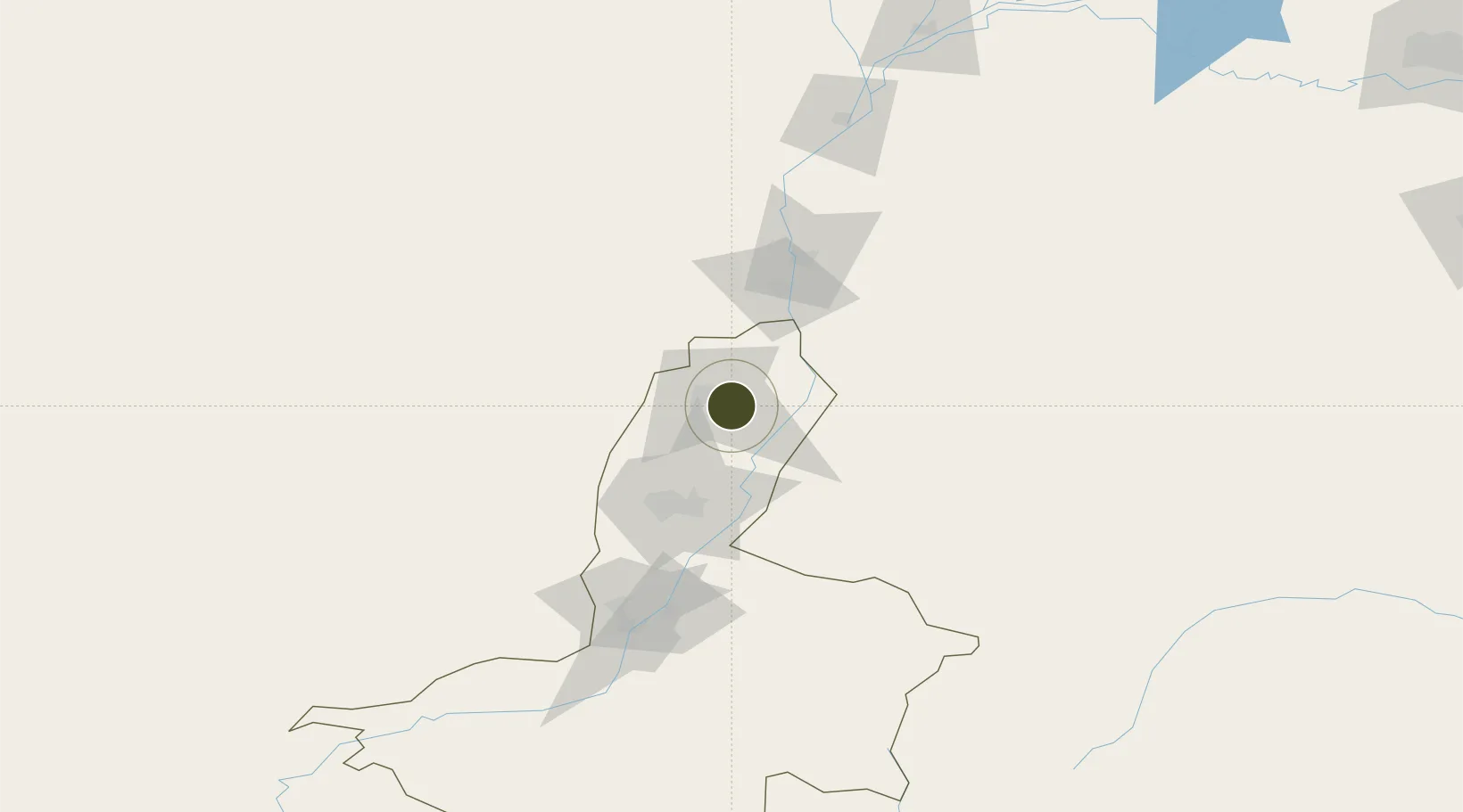
38.9599°, 106.4784°
8,660 ha
Zone area
981.1 km
Nearest port
71.2 km
Nearest airport

Gateway access

Nearest neighbours — logibook spatial index (haversine) over the source coordinates

Zone profile

Zone type
Export Processing Zone
Open Zone Map
Region
Ningxia
Open Zone Map
Status
Active
Open Zone Map
Management
Public
Open Zone Map
Operator
Shizuishan Ecological Economic Development Zone Management Committee
Open Zone Map
Legal framework
Pingluo county people's government in 1996 to build the first batch of autonomous region-level township enterprises industrial parks
Open Zone Map

Location

Location of ozm-1453
Natural Earth 10m (public domain) · Ningxia · ozm-1453 · 38.96, 106.48GoogleOSMYandex

Nearby Logistics Neighbours

Ports
  1. 1Tianjin Xin Gang981 km
  2. 2Tangshan (Jingtang)1082 km
  3. 3Qinhuangdao1132 km
  4. 4Hankow1172 km
  5. 5Longkou Gang1213 km
Nearest neighbours — logibook spatial index (haversine) over the source coordinates
Airports
  1. 1Yinchuan Hedong International Airport71 km
  2. 2Alxa Left Banner Bayanhot Airport81 km
  3. 3Wuhai Airport97 km
  4. 4Zhongwei Shapotou Airport193 km
  5. 5Bayannur Tianjitai Airport244 km
Nearest neighbours — logibook spatial index (haversine) over the source coordinates
Cities
  1. 1Yinchuan60 km
  2. 2Bayannur211 km
  3. 3Bayin335 km
  4. 4Baotou353 km
  5. 5Gaolan370 km
Nearest neighbours — logibook spatial index (haversine) over the source coordinates
DatabookThe Record of Consolidated Knowledge
China beyond logistics?
Browse databook

All Sources

Trade ZonesOpen Zone Map
CC BY
Portsthe NGA World Port Index
Public domain (US gov)
AirportsOurAirports
Public domain
LocationsUN/LOCODE
UN/LOCODE — free
← China trade zones