Export Processing Zone · China

Etuoke Economic Development Zone Active
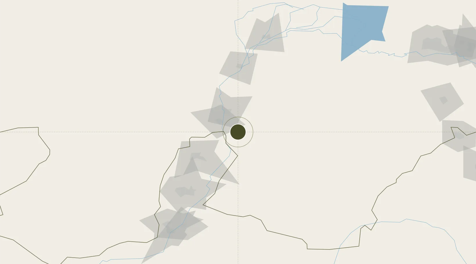
39.3645°, 106.9857°
5,700 ha
Zone area
935.7 km
Nearest port
50.3 km
Nearest airport

Gateway access

Nearest neighbours — logibook spatial index (haversine) over the source coordinates

Zone profile

Zone type
Export Processing Zone
Open Zone Map
Region
Inner Mongol
Open Zone Map
Status
Active
Open Zone Map
Management
Public
Open Zone Map
Operator
Working Committee of Etuoke Economic Development Zone
Open Zone Map
Legal framework
Etok Economic Development Zone Administration Committee of Inner Mongolia Etok Economic Development Zone (Checkerboard well, Mengxi Industrial Park) Industrial Development Plan (2020-2035) project and Etok Economic Development Zone overall safety risk Ass
Open Zone Map

Location

Location of ozm-1435
Natural Earth 10m (public domain) · Inner Mongol · ozm-1435 · 39.36, 106.99GoogleOSMYandex

Nearby Logistics Neighbours

Ports
  1. 1Tianjin Xin Gang936 km
  2. 2Tangshan (Jingtang)1035 km
  3. 3Qinhuangdao1082 km
  4. 4Longkou Gang1172 km
  5. 5Hankow1180 km
Nearest neighbours — logibook spatial index (haversine) over the source coordinates
Airports
  1. 1Wuhai Airport50 km
  2. 2Yinchuan Hedong International Airport127 km
  3. 3Alxa Left Banner Bayanhot Airport139 km
  4. 4Bayannur Tianjitai Airport185 km
  5. 5Ordos Ejin Horo International Airport247 km
Nearest neighbours — logibook spatial index (haversine) over the source coordinates
Cities
  1. 1Yinchuan119 km
  2. 2Bayannur156 km
  3. 3Baotou293 km
  4. 4Gangimaodu345 km
  5. 5Bayan Obo367 km
Nearest neighbours — logibook spatial index (haversine) over the source coordinates
DatabookThe Record of Consolidated Knowledge
China beyond logistics?
Browse databook

All Sources

Trade ZonesOpen Zone Map
CC BY
Portsthe NGA World Port Index
Public domain (US gov)
AirportsOurAirports
Public domain
LocationsUN/LOCODE
UN/LOCODE — free
← China trade zones