Transport Functions
Multimodal
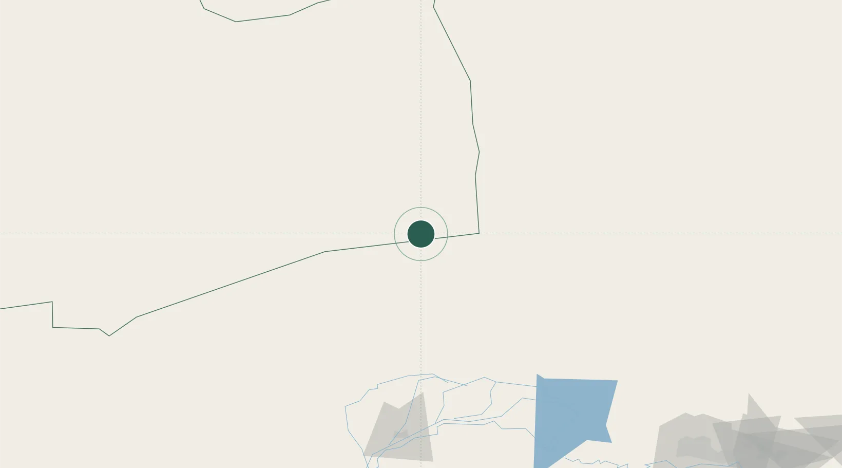
Location
Nearby Logistics Neighbours
Cities
- 1Bayannur190 km
- 2Bayan Obo211 km
- 3Baotou285 km
- 4Zamyn-Üüd379 km
- 5Erlianhaote382 km
Ports
- 1Tianjin Xin Gang947 km
- 2Tangshan (Jingtang)1027 km
- 3Qinhuangdao1045 km
- 4Huludao Gang1132 km
- 5Jinzhou Wan1140 km
Airports
- 1Ruad Zhongqi Hailiutu Airport106 km
- 2Bayannur Tianjitai Airport168 km
- 3Baotou Donghe International Airport290 km
- 4Dalanzadgad Airport291 km
- 5Wuhai Airport301 km
Trade Zones
DatabookThe Record of Consolidated Knowledge
Mongolia beyond logistics?