Transport Functions
Rail
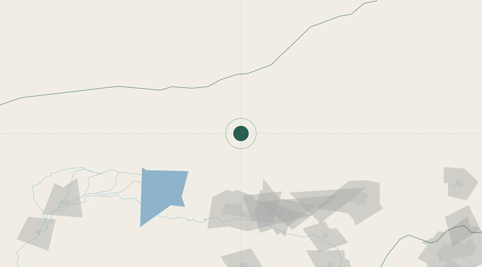
Hub Profile
Place type
Populated place
Region
Inner Mongolia
Time zone
Asia/Shanghai
Elevation
1,610 m
Location
Nearby Logistics Neighbours
Cities
- 1Baotou127 km
- 2Hohhot179 km
- 3Gangimaodu211 km
- 4Bayannur246 km
- 5Erlianhaote264 km
Ports
- 1Tianjin Xin Gang735 km
- 2Tangshan (Jingtang)816 km
- 3Qinhuangdao836 km
- 4Huludao Gang928 km
- 5Jinzhou Wan937 km
Airports
Trade Zones
DatabookThe Record of Consolidated Knowledge
China beyond logistics?