Transport Functions
Rail
Road
Airport
Multimodal
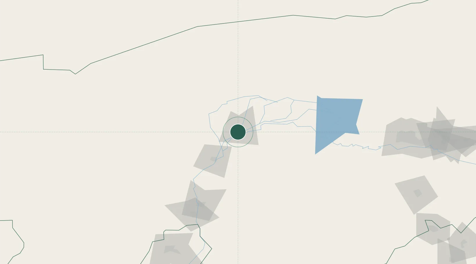
Hub Profile
Place type
Populated place
Region
Inner Mongolia
Population
1,760,000
Time zone
Asia/Shanghai
Elevation
1,050 m
Location
Nearby Logistics Neighbours
Cities
- 1Gangimaodu190 km
- 2Baotou222 km
- 3Bayan Obo246 km
- 4Yinchuan271 km
- 5Hohhot364 km
Ports
- 1Tianjin Xin Gang914 km
- 2Tangshan (Jingtang)1007 km
- 3Qinhuangdao1041 km
- 4Huludao Gang1147 km
- 5Jinzhou Wan1156 km
Airports
DatabookThe Record of Consolidated Knowledge
China beyond logistics?