UN/LOCODE hub · China
CNBOT

Baotou

40.6263°, 109.9994°
2,150,000
Population
1
Transport functions

Transport Functions

Multimodal
UN/LOCODE

Hub Profile

Place type
Populated place
GeoNames
Region
Inner Mongolia
GeoNames
Population
2,150,000
GeoNames
Time zone
Asia/Shanghai
GeoNames
Elevation
1,064 m
GeoNames
Logistics facilities
1
UN/LOCODE

Location

Location of CNBOT
Natural Earth 10m (public domain) · Inner Mongolia · CNBOT · 40.63, 110.00GoogleOSMYandex

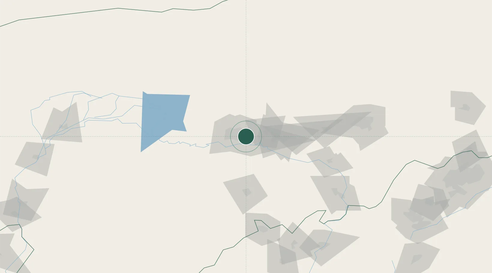
Nearby Logistics Neighbours

Cities
  1. 1Bayan Obo127 km
  2. 2Hohhot143 km
  3. 3Bayannur222 km
  4. 4Datong284 km
  5. 5Gangimaodu285 km
Nearest neighbours — logibook spatial index (haversine) over the source coordinates
Ports
  1. 1Tianjin Xin Gang694 km
  2. 2Tangshan (Jingtang)785 km
  3. 3Qinhuangdao819 km
  4. 4Huludao Gang926 km
  5. 5Jinzhou Wan935 km
Nearest neighbours — logibook spatial index (haversine) over the source coordinates
Airports
  1. 1Baotou Donghe International Airport7 km
  2. 2Hohhot Bikeqi Air Base105 km
  3. 3Ordos Ejin Horo International Airport127 km
  4. 4Hohhot Baita International Airport156 km
  5. 5Ruad Zhongqi Hailiutu Airport180 km
Nearest neighbours — logibook spatial index (haversine) over the source coordinates
Trade Zones
  1. 1Baotou Equipment Manufacturing Industrial Park6 km
  2. 2Baotou Aluminum Industrial Park13 km
  3. 3Jiuyuan Industrial Park26 km
  4. 4Shiguai Industrial Park26 km
  5. 5Dalad Economic Development Zone34 km
Nearest neighbours — logibook spatial index (haversine) over the source coordinates
DatabookThe Record of Consolidated Knowledge
China beyond logistics?
Browse databook

All Sources

LocationsUN/LOCODE
UN/LOCODE — free
LocationsGeoNames
CC BY 4.0
Portsthe NGA World Port Index
Public domain (US gov)
AirportsOurAirports
Public domain
Trade Zonesthe World Bank SEZ database
CC BY 4.0
Trade ZonesOpen Zone Map
CC BY
← China locations