Medium airport · China

Bayannur Tianjitai AirportZBYZ
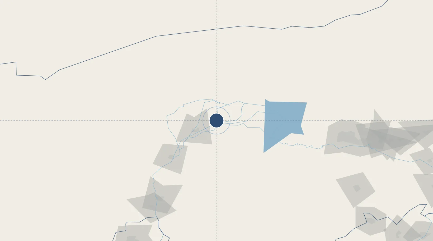
40.9264°, 107.7409°
8,530 ft
Longest runway
1
Runways
3,400 ft
Elevation

Runway & Layout

Bayannur Tianjitai Airport runway & taxiway layout
Runway & taxiway layout — OpenStreetMap (ODbL) / OurAirports

Runways · 1

RunwayDimensions SurfaceTrue headingLit
11/29 8,530 × 148ft Asphalt / concrete
OurAirports

Airport Specifications

IATA code
RLK
OurAirports
ICAO code
ZBYZ
OurAirports
Airport class
Medium airport
OurAirports
Scheduled service
Yes
OurAirports
Runway surface
Asphalt / concrete
OurAirports
Served city
Bayannur
OurAirports

Location

Location of ZBYZ
Natural Earth 10m (public domain) · Inner Mongol · ZBYZ · 40.93, 107.74GoogleOSMYandex

Nearby Logistics Neighbours

Airports
  1. 1Ruad Zhongqi Hailiutu Airport101 km
  2. 2Wuhai Airport149 km
  3. 3Baotou Donghe International Airport194 km
  4. 4Ordos Ejin Horo International Airport240 km
  5. 5Hohhot Bikeqi Air Base294 km
Nearest neighbours — logibook spatial index (haversine) over the source coordinates
Cities
  1. 1Bayannur38 km
  2. 2Gangimaodu168 km
  3. 3Baotou193 km
  4. 4Bayan Obo208 km
  5. 5Yinchuan303 km
Nearest neighbours — logibook spatial index (haversine) over the source coordinates
Ports
  1. 1Tianjin Xin Gang887 km
  2. 2Tangshan (Jingtang)978 km
  3. 3Qinhuangdao1010 km
  4. 4Huludao Gang1114 km
  5. 5Jinzhou Wan1123 km
Nearest neighbours — logibook spatial index (haversine) over the source coordinates
Trade Zones
  1. 1Zhuozi Economic and Technological Development Zone22 km
  2. 2Wuyuan Industrial Park48 km
  3. 3Urad Rear Banner Circular Economy Industrial Park76 km
  4. 4Tara Industrial Park120 km
  5. 5Jiuyuan Industrial Park168 km
Nearest neighbours — logibook spatial index (haversine) over the source coordinates
DatabookThe Record of Consolidated Knowledge
China beyond logistics?
Browse databook

All Sources

AirportsOurAirports
Public domain
Portsthe NGA World Port Index
Public domain (US gov)
LocationsUN/LOCODE
UN/LOCODE — free
Trade Zonesthe World Bank SEZ database
CC BY 4.0
Trade ZonesOpen Zone Map
CC BY
InfrastructureOpenStreetMap
ODbL 1.0
← China airports