Medium airport · China

Alxa Left Banner Bayanhot AirportAXF
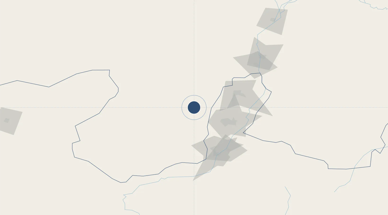
38.7483°, 105.5842°
7,874 ft
Longest runway
1
Runways
4,560 ft
Elevation

Runway & Layout

Alxa Left Banner Bayanhot Airport runway & taxiway layout
Runway & taxiway layout — OpenStreetMap (ODbL) / OurAirports

Runways · 1

RunwayDimensions SurfaceTrue headingLit
14/32 7,874 × —ft Concrete
OurAirports

Airport Specifications

IATA code
AXF
OurAirports
ICAO code
ZBAL
OurAirports
Airport class
Medium airport
OurAirports
Scheduled service
Yes
OurAirports
Runway surface
Concrete
OurAirports
Served city
Bayanhot
OurAirports

Location

Location of AXF
Natural Earth 10m (public domain) · Inner Mongol · AXF · 38.75, 105.58GoogleOSMYandex

Nearby Logistics Neighbours

Airports
  1. 1Yinchuan Hedong International Airport85 km
  2. 2Zhongwei Shapotou Airport136 km
  3. 3Wuhai Airport156 km
  4. 4Wuwei Air Base276 km
  5. 5Jinchang Jinchuan Airport282 km
Nearest neighbours — logibook spatial index (haversine) over the source coordinates
Cities
  1. 1Yinchuan68 km
  2. 2Bayannur268 km
  3. 3Bayin273 km
  4. 4Gaolan307 km
  5. 5Lanzhou335 km
Nearest neighbours — logibook spatial index (haversine) over the source coordinates
Ports
  1. 1Tianjin Xin Gang1060 km
  2. 2Tangshan (Jingtang)1161 km
  3. 3Hankow1206 km
  4. 4Qinhuangdao1213 km
  5. 5Lanshan1290 km
Nearest neighbours — logibook spatial index (haversine) over the source coordinates
DatabookThe Record of Consolidated Knowledge
China beyond logistics?
Browse databook

All Sources

AirportsOurAirports
Public domain
Portsthe NGA World Port Index
Public domain (US gov)
LocationsUN/LOCODE
UN/LOCODE — free
Trade Zonesthe World Bank SEZ database
CC BY 4.0
Trade ZonesOpen Zone Map
CC BY
InfrastructureOpenStreetMap
ODbL 1.0
← China airports