Transport Functions
Rail
Road
Hub Profile
Place type
Populated place
Region
New South Wales
Population
482
Time zone
Australia/Sydney
Elevation
132 m
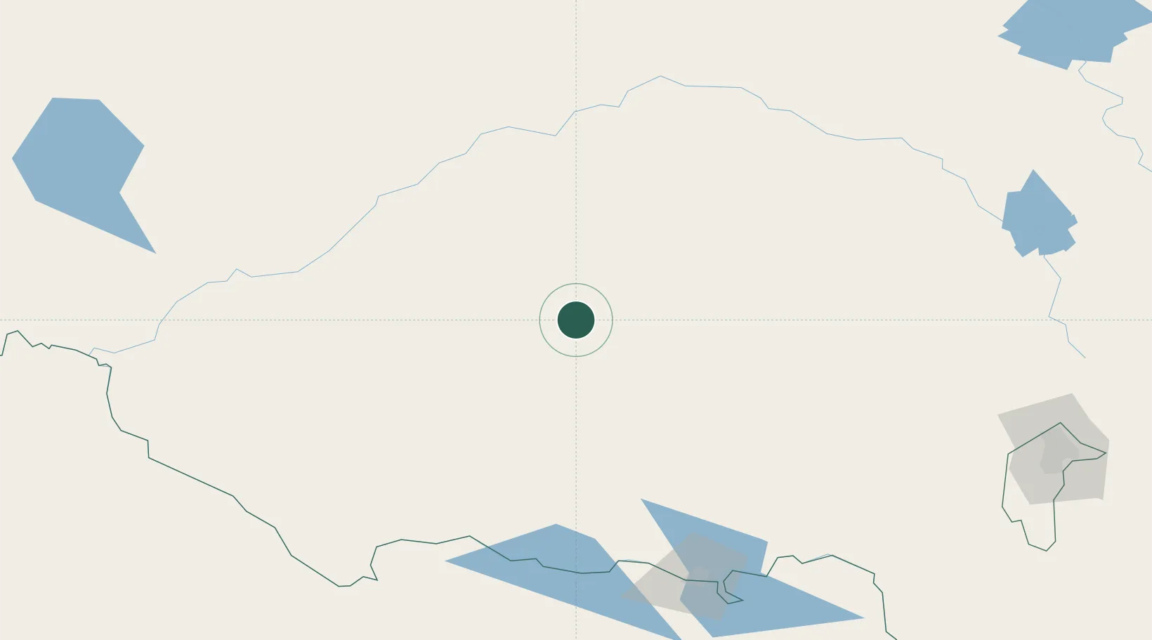
Location
Nearby Logistics Neighbours
Cities
- 1Leeton20 km
- 2Hanwood25 km
- 3Yenda28 km
- 4Beelbangera29 km
- 5Binya35 km
Ports
- 1Melbourne385 km
- 2Batemans Bay386 km
- 3Jervis Bay427 km
- 4Port Kembla434 km
- 5Western Port435 km
Airports
- 1Griffith Airport31 km
- 2Narrandera Airport37 km
- 3West Wyalong Airport113 km
- 4Temora Airport122 km
- 5Hay Airport124 km
Trade Zones
DatabookThe Record of Consolidated Knowledge
Australia beyond logistics?