Runway & Layout
Airport Specifications
Airport class
Seaplane base
Scheduled service
Yes
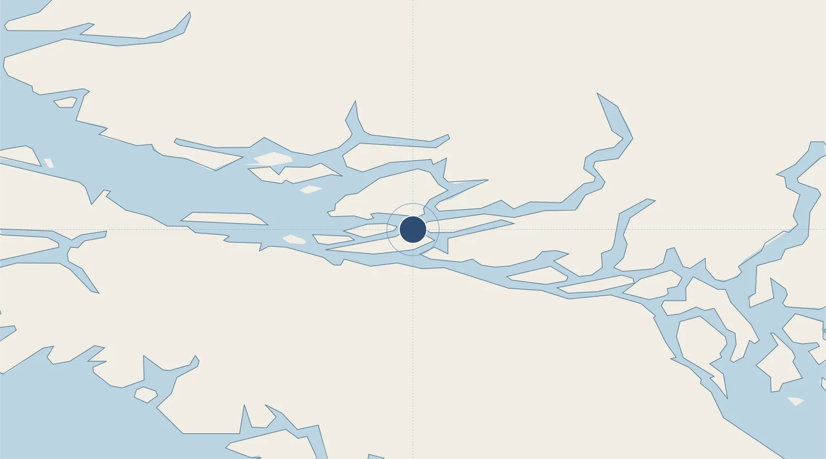
Served city
Minstrel Island/Lagoon Cove
Location
Nearby Logistics Neighbours
Airports
Cities
- 1Sayward40 km
- 2Beaver Cove41 km
- 3Port McNeill56 km
- 4Coal Harbour90 km
- 5Campbell River100 km
Ports
- 1Alert Bay44 km
- 2Port Mcneill55 km
- 3Tahsis81 km
- 4Port Alice85 km
- 5Coal Harbor90 km
Trade Zones
- 1FTZ Vancouver Island274 km
- 2FTZ No. 128 Whatcom County336 km
- 3FTZ No. 129 Bellingham341 km
- 4FTZ No. 173 Grays Harbor409 km
- 5FTZ No. 085 Everett414 km
DatabookThe Record of Consolidated Knowledge
Canada beyond logistics?