Runway & Layout

Airport Specifications
IATA code
YMF
Airport class
Seaplane base
Scheduled service
Yes
Served city
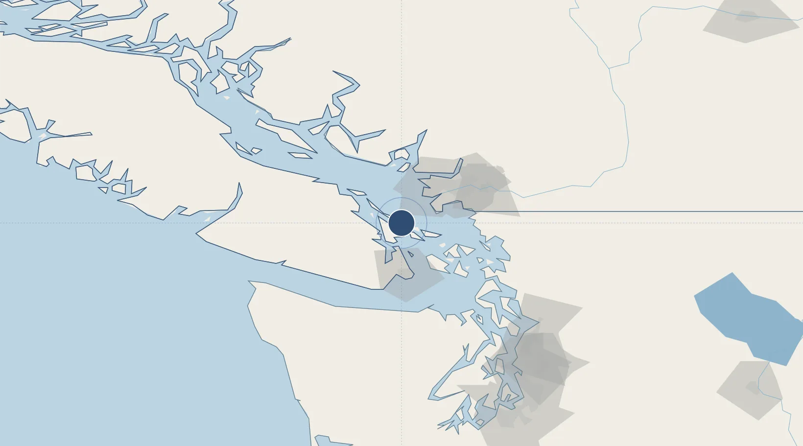
Galiano Island
Location
Nearby Logistics Neighbours
Airports
Cities
- 1Thetis Island24 km
- 2Robert's Bank25 km
- 3Point Roberts26 km
- 4Thawwassen27 km
- 5Duncan/Quam27 km
Ports
- 1Ganges8 km
- 2Lyall Harbor17 km
- 3Crofton18 km
- 4Cowichan Bay23 km
- 5Sidney27 km
Trade Zones
- 1FTZ Vancouver Island44 km
- 2FTZ No. 128 Whatcom County62 km
- 3FTZ No. 129 Bellingham65 km
- 4FTZ No. 085 Everett132 km
- 5FTZ No. 005 Seattle157 km
DatabookThe Record of Consolidated Knowledge
Canada beyond logistics?