Medium airport · Australia

Bedourie AirportYBIE
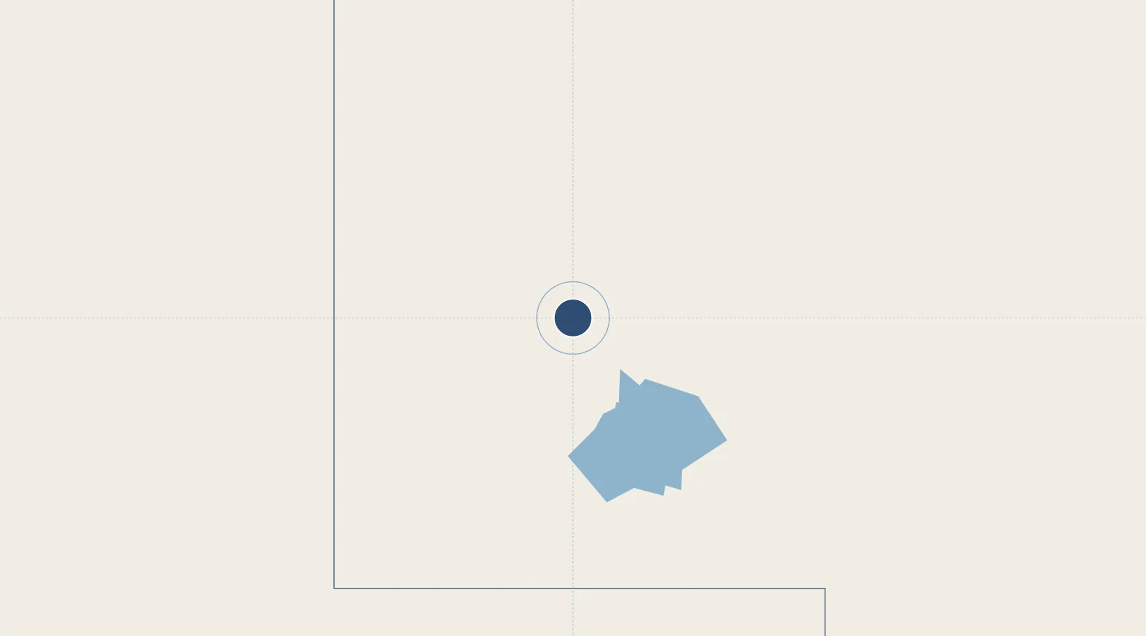
-24.3461°, 139.4600°
4,921 ft
Longest runway
1
Runways
300 ft
Elevation

Runway & Layout

Bedourie Airport runway & taxiway layout
Runway & taxiway layout — OpenStreetMap (ODbL) / OurAirports

Radio Frequencies

CTAF
126.7 MHz
FSS
125.4 MHz
BRISBANE CNTR
OurAirports

Runways · 1

RunwayDimensions SurfaceTrue headingLit
14/32 4,921 × 98ft Asphalt 145°
OurAirports

Airport Specifications

IATA code
BEU
OurAirports
ICAO code
YBIE
OurAirports
Airport class
Medium airport
OurAirports
Scheduled service
Yes
OurAirports
Runway surface
Asphalt
OurAirports
Served city
Bedourie
OurAirports

Location

Location of YBIE
Natural Earth 10m (public domain) · Queensland · YBIE · -24.35, 139.46GoogleOSMYandex

Nearby Logistics Neighbours

Airports
  1. 1Boulia Airport166 km
  2. 2Birdsville Airport173 km
  3. 3Windorah Airport345 km
  4. 4Mount Isa Airport409 km
  5. 5Cloncurry Airport423 km
Nearest neighbours — logibook spatial index (haversine) over the source coordinates
Cities
  1. 1Burketown735 km
  2. 2Karumba776 km
  3. 3Mount Louisa938 km
  4. 4Garbutt942 km
  5. 5Townsville948 km
Nearest neighbours — logibook spatial index (haversine) over the source coordinates
Ports
  1. 1Karumba776 km
  2. 2Townsville946 km
  3. 3Lucinda962 km
  4. 4Port Bonython978 km
  5. 5Whyalla983 km
Nearest neighbours — logibook spatial index (haversine) over the source coordinates
Trade Zones
  1. 1Latrobe Valley Economic Growth Zone1678 km
  2. 2Paga Hill Estate Special Economic Zone1843 km
  3. 3Ihu Special Economic Zone1935 km
  4. 4Western Province Special Economic Zone1939 km
  5. 5Morobe Agricultural Special Economic Zone2081 km
Nearest neighbours — logibook spatial index (haversine) over the source coordinates
DatabookThe Record of Consolidated Knowledge
Australia beyond logistics?
Browse databook

All Sources

AirportsOurAirports
Public domain
Portsthe NGA World Port Index
Public domain (US gov)
LocationsUN/LOCODE
UN/LOCODE — free
Trade Zonesthe World Bank SEZ database
CC BY 4.0
Trade ZonesOpen Zone Map
CC BY
InfrastructureOpenStreetMap
ODbL 1.0
← Australia airports