Medium airport · Australia

Windorah AirportYWDH
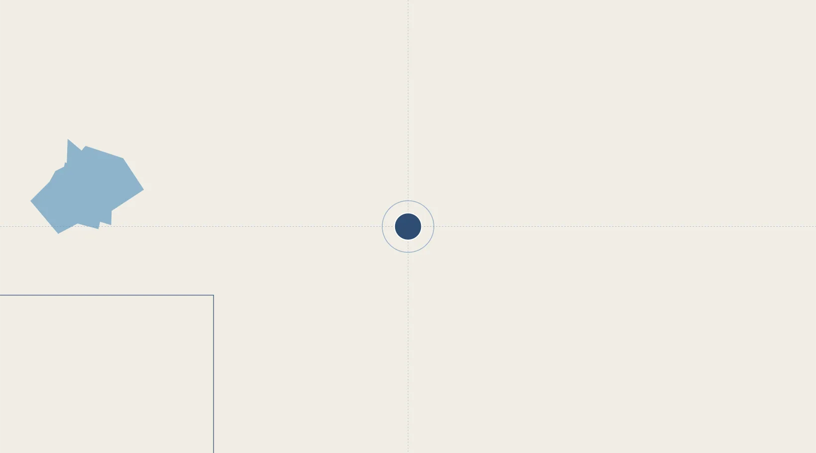
-25.4106°, 142.6684°
4,508 ft
Longest runway
1
Runways
452 ft
Elevation

Runway & Layout

Windorah Airport runway & taxiway layout
Runway & taxiway layout — OpenStreetMap (ODbL) / OurAirports

Radio Frequencies

CTAF
126.7 MHz
FSS
118.8 MHz
BRISBANE CNTR
OurAirports

Navaids

WDH NDB Windorah 407 kHz
OurAirports

Runways · 1

RunwayDimensions SurfaceTrue headingLit
04/22 4,508 × 98ft Asphalt 050°
OurAirports

Airport Specifications

IATA code
WNR
OurAirports
ICAO code
YWDH
OurAirports
Airport class
Medium airport
OurAirports
Scheduled service
Yes
OurAirports
Runway surface
Asphalt
OurAirports
Served city
Windorah
OurAirports

Location

Location of YWDH
Natural Earth 10m (public domain) · Queensland · YWDH · -25.41, 142.67GoogleOSMYandex

Nearby Logistics Neighbours

Airports
  1. 1Quilpie Airport207 km
  2. 2Longreach Airport274 km
  3. 3Blackall Airport299 km
  4. 4Thargomindah Airport308 km
  5. 5Barcaldine Airport336 km
Nearest neighbours — logibook spatial index (haversine) over the source coordinates
Cities
  1. 1Wattle Park673 km
  2. 2Coolabah738 km
  3. 3Condamine764 km
  4. 4Columboola779 km
  5. 5Mount Louisa799 km
Nearest neighbours — logibook spatial index (haversine) over the source coordinates
Ports
  1. 1Townsville805 km
  2. 2Hay Point818 km
  3. 3Mackay822 km
  4. 4Port Alma852 km
  5. 5Lucinda855 km
Nearest neighbours — logibook spatial index (haversine) over the source coordinates
Trade Zones
  1. 1Latrobe Valley Economic Growth Zone1468 km
  2. 2Paga Hill Estate Special Economic Zone1833 km
  3. 3Ihu Special Economic Zone1969 km
  4. 4Western Province Special Economic Zone2075 km
  5. 5Morobe Agricultural Special Economic Zone2112 km
Nearest neighbours — logibook spatial index (haversine) over the source coordinates
DatabookThe Record of Consolidated Knowledge
Australia beyond logistics?
Browse databook

All Sources

AirportsOurAirports
Public domain
Portsthe NGA World Port Index
Public domain (US gov)
LocationsUN/LOCODE
UN/LOCODE — free
Trade Zonesthe World Bank SEZ database
CC BY 4.0
Trade ZonesOpen Zone Map
CC BY
InfrastructureOpenStreetMap
ODbL 1.0
← Australia airports