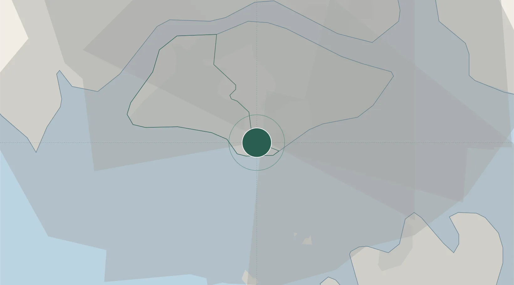
UN/LOCODE hub · Singapore
SGBKM
Bukit Merah Estate
1.2833°, 103.8167°
151,250
Population
2
Transport functions
Transport Functions
Port
Road
Hub Profile
Place type
Urban district
Region
01
Population
151,250
Time zone
Asia/Singapore
Elevation
21 m
Location
Nearby Logistics Neighbours
Cities
- 1Choa Chu Kang4 km
- 2Clementi4 km
- 3West Coast Town4 km
- 4Pasir Panjang Wharves4 km
- 5PASIR PANJANG Terminal6 km
Ports
- 1Keppel - (East Singapore)4 km
- 2Pulau Bukom8 km
- 3Jurong Island9 km
- 4Pulau Sebarok9 km
- 5Pulau Sambu16 km
Airports
- 1Paya Lebar Air Base14 km
- 2Seletar Airport16 km
- 3Sembawang Air Base16 km
- 4Tengah Air Base17 km
- 5Singapore Changi Airport21 km
DatabookThe Record of Consolidated Knowledge
Singapore beyond logistics?