UN/LOCODE hub · Malaysia
MYTAI

Tampoi

1.4833°, 103.6833°
1,000
Population
2
Transport functions

Transport Functions

Port
Road
UN/LOCODE

Hub Profile

Place type
Populated place
GeoNames
Region
Johor
GeoNames
Population
1,000
GeoNames
Time zone
Asia/Kuala_Lumpur
GeoNames
Elevation
20 m
GeoNames

Location

Location of MYTAI
Natural Earth 10m (public domain) · Johor · MYTAI · 1.48, 103.68GoogleOSMYandex

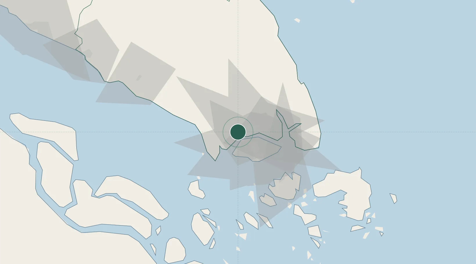
Nearby Logistics Neighbours

Cities
  1. 1Senai14 km
  2. 2Taman Molek15 km
  3. 3Gelang Patah18 km
  4. 4Kampong Tanjong Kupang19 km
  5. 5Tuas19 km
Nearest neighbours — logibook spatial index (haversine) over the source coordinates
Ports
  1. 1Tanjung Pelepas21 km
  2. 2Jurong Island23 km
  3. 3Johor25 km
  4. 4Keppel - (East Singapore)29 km
  5. 5Pulau Bukom29 km
Nearest neighbours — logibook spatial index (haversine) over the source coordinates
Airports
  1. 1Tengah Air Base11 km
  2. 2Sembawang Air Base16 km
  3. 3Senai International Airport18 km
  4. 4Seletar Airport22 km
  5. 5Paya Lebar Air Base29 km
Nearest neighbours — logibook spatial index (haversine) over the source coordinates
Trade Zones
  1. 1Iskander Development Region4 km
  2. 2Senai-Skudai Flagship Zone11 km
  3. 3Nusajaya Flagship Zone11 km
  4. 4Johor Bahru Duty Free Zone11 km
  5. 5Stulang Laut Duty Free Area In Johor Bahru11 km
Nearest neighbours — logibook spatial index (haversine) over the source coordinates
DatabookThe Record of Consolidated Knowledge
Malaysia beyond logistics?
Browse databook

All Sources

LocationsUN/LOCODE
UN/LOCODE — free
LocationsGeoNames
CC BY 4.0
Portsthe NGA World Port Index
Public domain (US gov)
AirportsOurAirports
Public domain
Trade Zonesthe World Bank SEZ database
CC BY 4.0
Trade ZonesOpen Zone Map
CC BY
← Malaysia locations