Medium airport · Malaysia

Sultan Abdul Halim AirportWMKA
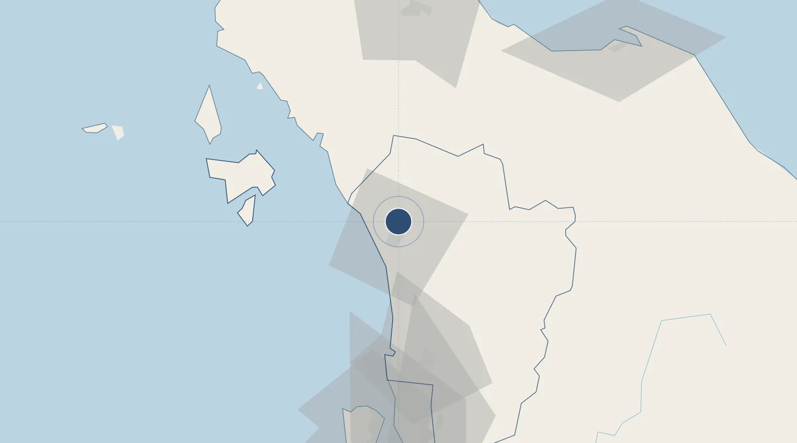
6.1897°, 100.3980°
9,005 ft
Longest runway
1
Runways
15 ft
Elevation

Runway & Layout

Sultan Abdul Halim Airport runway & taxiway layout
Runway & taxiway layout — OpenStreetMap (ODbL) / OurAirports

Radio Frequencies

TWR
122.3 MHz
ALOR STAR TWR
GND
121.6 MHz
ALOR STAR GND
APP
122.3 MHz
ALOR STAR APP
OurAirports

Navaids

AT NDB Alor Star 385 kHz
VAS VOR-DME Alor Star 113.60 MHz
OurAirports

Runways · 1

RunwayDimensions SurfaceTrue headingLit
04/22 9,005 × 151ft Asphalt 042°
OurAirports

Airport Specifications

IATA code
AOR
OurAirports
ICAO code
WMKA
OurAirports
Airport class
Medium airport
OurAirports
Scheduled service
Yes
OurAirports
Runway surface
Asphalt
OurAirports
Served city
Alor Satar
OurAirports

Location

Location of WMKA
Natural Earth 10m (public domain) · Kedah · WMKA · 6.19, 100.40GoogleOSMYandex

Nearby Logistics Neighbours

Airports
  1. 1Langkawi International Airport76 km
  2. 2RMAF Butterworth Air Base81 km
  3. 3Hat Yai International Airport83 km
  4. 4Betong International Airport94 km
  5. 5Penang International Airport100 km
Nearest neighbours — logibook spatial index (haversine) over the source coordinates
Cities
  1. 1Sadao Customs House40 km
  2. 2Bukit Keteri42 km
  3. 3Ban Prakop Customs House47 km
  4. 4Padang Besar, Thailand52 km
  5. 5Merbok53 km
Nearest neighbours — logibook spatial index (haversine) over the source coordinates
Ports
  1. 1Port Langkawi75 km
  2. 2Pulau Pinang86 km
  3. 3Songkhla Harbor116 km
  4. 4Pattani131 km
  5. 5Kantang Harbor166 km
Nearest neighbours — logibook spatial index (haversine) over the source coordinates
DatabookThe Record of Consolidated Knowledge
Malaysia beyond logistics?
Browse databook

All Sources

AirportsOurAirports
Public domain
Portsthe NGA World Port Index
Public domain (US gov)
LocationsUN/LOCODE
UN/LOCODE — free
Trade Zonesthe World Bank SEZ database
CC BY 4.0
Trade ZonesOpen Zone Map
CC BY
InfrastructureOpenStreetMap
ODbL 1.0
← Malaysia airports