UN/LOCODE hub · Thailand
THPDB

Padang Besar, Thailand

6.6500°, 100.3167°
2
Transport functions

Transport Functions

Rail
Road
UN/LOCODE

Hub Profile

Region
90
GeoNames

Location

Location of THPDB
Natural Earth 10m (public domain) · 90 · THPDB · 6.65, 100.32GoogleOSMYandex

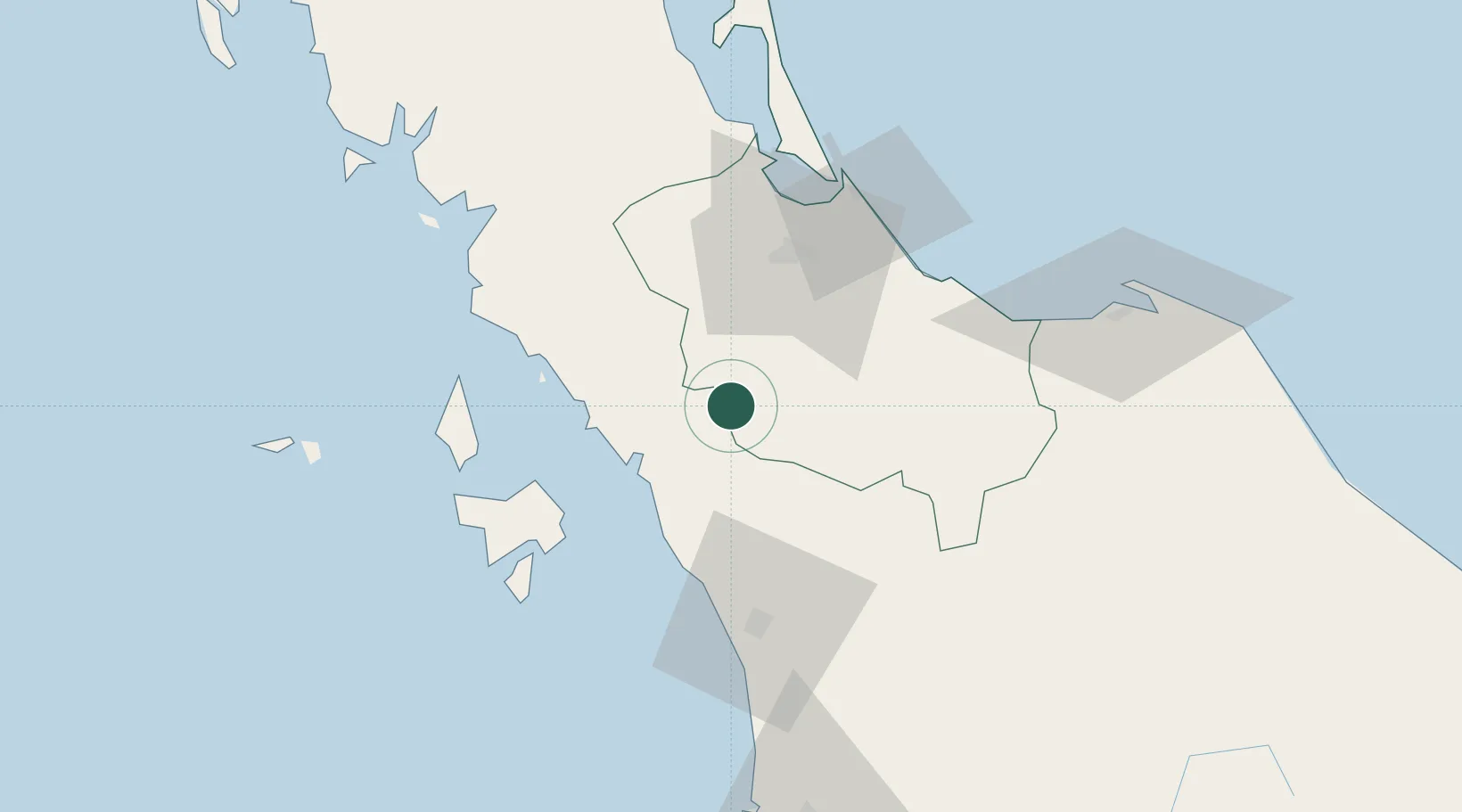
Nearby Logistics Neighbours

Cities
  1. 1Bukit Keteri15 km
  2. 2Sadao Customs House16 km
  3. 3Satun28 km
  4. 4Ban Prakop Customs House49 km
  5. 5Songkhla65 km
Nearest neighbours — logibook spatial index (haversine) over the source coordinates
Ports
  1. 1Port Langkawi65 km
  2. 2Songkhla Harbor70 km
  3. 3Pattani114 km
  4. 4Kantang Harbor121 km
  5. 5Pulau Pinang137 km
Nearest neighbours — logibook spatial index (haversine) over the source coordinates
Airports
  1. 1Hat Yai International Airport33 km
  2. 2Sultan Abdul Halim Airport52 km
  3. 3Songkhla Airport68 km
  4. 4Langkawi International Airport74 km
  5. 5Pattani Airport94 km
Nearest neighbours — logibook spatial index (haversine) over the source coordinates
DatabookThe Record of Consolidated Knowledge
Thailand beyond logistics?
Browse databook

All Sources

LocationsUN/LOCODE
UN/LOCODE — free
Portsthe NGA World Port Index
Public domain (US gov)
AirportsOurAirports
Public domain
Trade Zonesthe World Bank SEZ database
CC BY 4.0
Trade ZonesOpen Zone Map
CC BY
← Thailand locations