UN/LOCODE hub · Thailand
THBPK

Ban Prakop Customs House

6.4667°, 100.7167°
2
Transport functions

Transport Functions

Port
Road
UN/LOCODE

Hub Profile

Region
90
GeoNames

Location

Location of THBPK
Natural Earth 10m (public domain) · 90 · THBPK · 6.47, 100.72GoogleOSMYandex

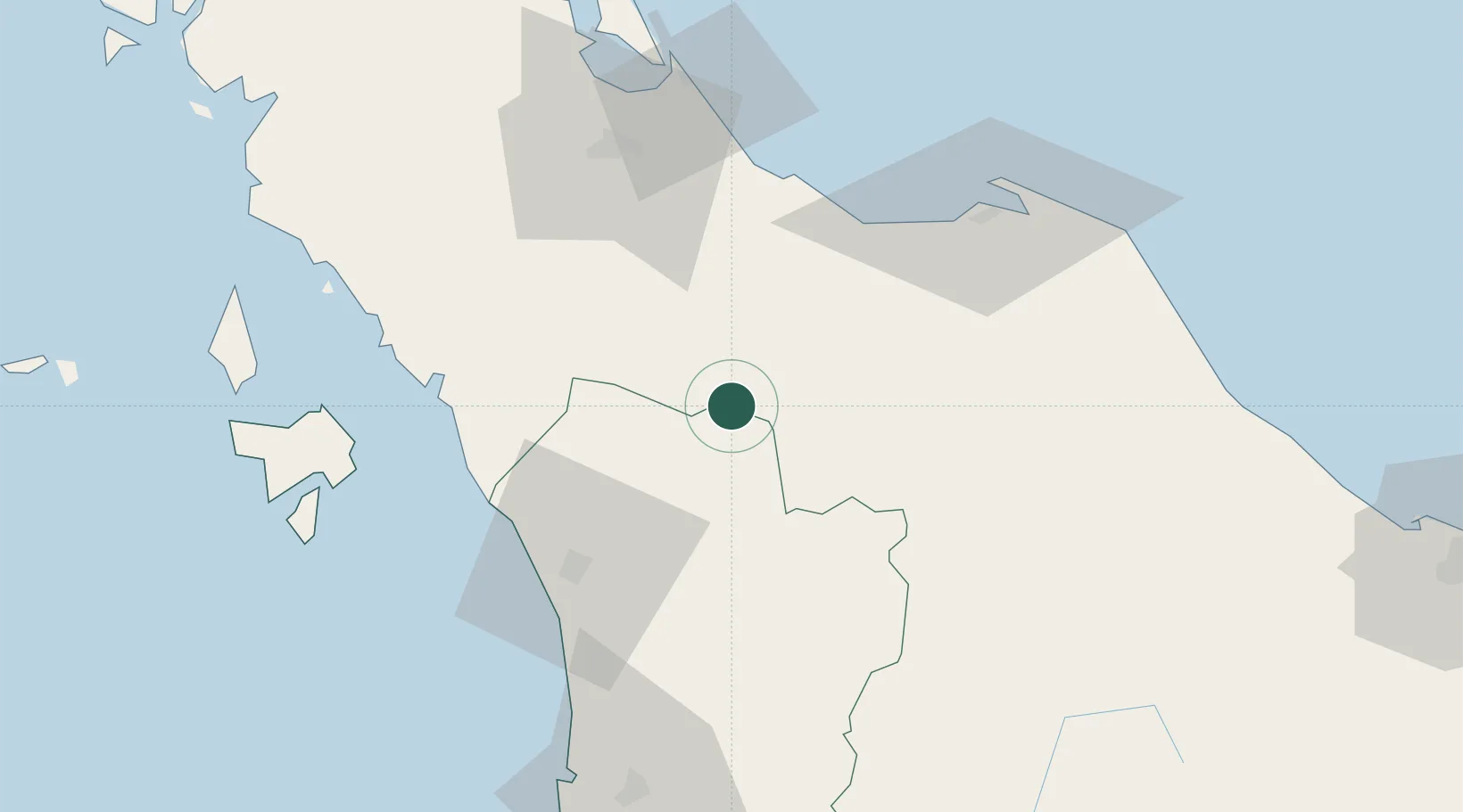
Nearby Logistics Neighbours

Cities
  1. 1Sadao Customs House34 km
  2. 2Padang Besar, Thailand49 km
  3. 3Bukit Keteri52 km
  4. 4Satun74 km
  5. 5Pattani76 km
Nearest neighbours — logibook spatial index (haversine) over the source coordinates
Ports
  1. 1Pattani84 km
  2. 2Songkhla Harbor85 km
  3. 3Port Langkawi105 km
  4. 4Pulau Pinang124 km
  5. 5Kantang Harbor168 km
Nearest neighbours — logibook spatial index (haversine) over the source coordinates
Airports
  1. 1Sultan Abdul Halim Airport47 km
  2. 2Pattani Airport60 km
  3. 3Hat Yai International Airport63 km
  4. 4Songkhla Airport81 km
  5. 5Betong International Airport89 km
Nearest neighbours — logibook spatial index (haversine) over the source coordinates
DatabookThe Record of Consolidated Knowledge
Thailand beyond logistics?
Browse databook

All Sources

LocationsUN/LOCODE
UN/LOCODE — free
Portsthe NGA World Port Index
Public domain (US gov)
AirportsOurAirports
Public domain
Trade Zonesthe World Bank SEZ database
CC BY 4.0
Trade ZonesOpen Zone Map
CC BY
← Thailand locations