Free Trade Zone · Malaysia
Bukit Kayu Hitam Duty Free Township Active
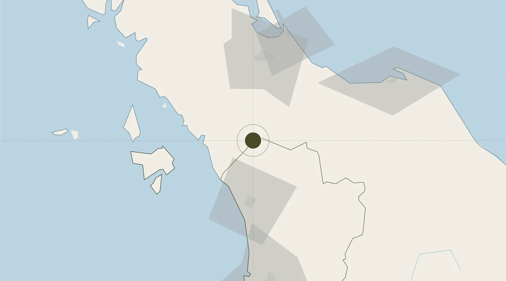
6.5035°, 100.4002°
4,736 ha
Zone area
70.4 km
Nearest port
34.9 km
Nearest airport
Gateway access
Zone profile
Zone type
Free Trade Zone
Region
Kedah
Status
Active
Management
Public-Private Partnership
Operator
Kedah State Development Corporation and Northern Gateway Sdn. Bhd.
Legal framework
Free Zones Act of 1990 (Act 438)
Location
Nearby Logistics Neighbours
Ports
- 1Port Langkawi70 km
- 2Songkhla Harbor82 km
- 3Pattani111 km
- 4Pulau Pinang121 km
- 5Kantang Harbor140 km
Airports
- 1Sultan Abdul Halim Airport35 km
- 2Hat Yai International Airport48 km
- 3Langkawi International Airport77 km
- 4Songkhla Airport79 km
- 5Pattani Airport89 km
Cities
- 1Sadao Customs House6 km
- 2Bukit Keteri17 km
- 3Padang Besar, Thailand19 km
- 4Ban Prakop Customs House35 km
- 5Satun39 km
DatabookThe Record of Consolidated Knowledge
Malaysia beyond logistics?