Channel & Berth Profile
Pilotage, Tugs & Services
Pilotage compulsoryNO
Pilotage availableYES
Pilotage advisableYES
Local assistanceYES
Potable waterYES
Diesel bunkersYES
MedicalYES
Facilities & Capabilities
Container—
Ro-Ro—
Liquid bulk—
Dry bulk—
Oil terminal—
Break bulk—
Dry dock—
RepairsNO
BunkeringYES
Rail linkYES
Dangerous cargo—
ISPS security—
Harbour Specifications
Harbour size
Very Small
Harbour type
River (Natural)
Shelter
Good
Water body
Andaman Sea; Indian Ocean
Tidal range
2 m
Overhead limit
No
Pilotage
No
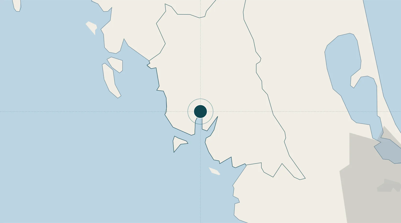
Location
Nearby Logistics Neighbours
Ports
- 1Krabi99 km
- 2Port Langkawi111 km
- 3Songkhla Harbor119 km
- 4Phuket132 km
- 5Pattani203 km
Cities
- 1Ban Kantang3 km
- 2Trang19 km
- 3Pakbara63 km
- 4Ko Lanta99 km
- 5Satun106 km
Airports
- 1Trang Airport16 km
- 2Krabi International Airport97 km
- 3Hat Yai International Airport110 km
- 4Langkawi International Airport121 km
- 5Songkhla Airport123 km
DatabookThe Record of Consolidated Knowledge
Thailand beyond logistics?