Large airport · Thailand
Hat Yai International AirportVTSS
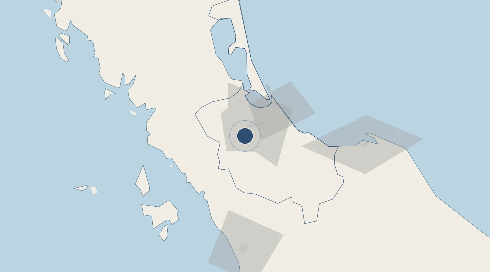
6.9332°, 100.3930°
10,007 ft
Longest runway
1
Runways
90 ft
Elevation
Runway & Layout

Radio Frequencies
ATIS
128.8 MHz
TWR
118.1 MHz
GND
121.9 MHz
APP
126.7 MHz
Navaids
HTY TACAN Hat Yai 115.70 MHz
HTY VOR-DME Hat Yai 115.30 MHz
HY NDB Hat Yai 328 kHz
Runways · 1
| Runway | Dimensions | Surface | True heading | Lit |
|---|---|---|---|---|
| 08/26 | 10,007 × 148ft | Asphalt | 083° | ✓ |
Airport Specifications
IATA code
HDY
ICAO code
VTSS
Airport class
Large airport
Scheduled service
Yes
Runway surface
Asphalt
Served city
Hat Yai
Location
Nearby Logistics Neighbours
Airports
- 1Songkhla Airport37 km
- 2Sultan Abdul Halim Airport83 km
- 3Pattani Airport86 km
- 4Langkawi International Airport99 km
- 5Trang Airport107 km
Cities
- 1Padang Besar, Thailand33 km
- 2Songkhla33 km
- 3Sadao Customs House43 km
- 4Bukit Keteri47 km
- 5Satun50 km
Ports
- 1Songkhla Harbor38 km
- 2Port Langkawi89 km
- 3Pattani100 km
- 4Kantang Harbor110 km
- 5Pulau Pinang169 km
DatabookThe Record of Consolidated Knowledge
Thailand beyond logistics?