UN/LOCODE hub · Thailand
THSAO

Sadao Customs House

6.5500°, 100.4167°
2
Transport functions

Transport Functions

Rail
Road
UN/LOCODE

Hub Profile

Region
90
GeoNames

Location

Location of THSAO
Natural Earth 10m (public domain) · 90 · THSAO · 6.55, 100.42GoogleOSMYandex

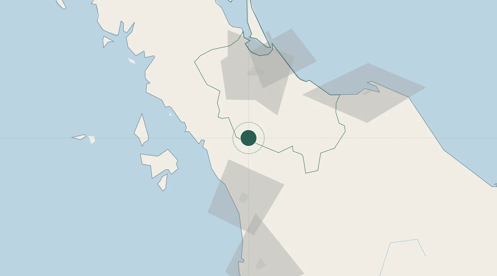
Nearby Logistics Neighbours

Cities
  1. 1Padang Besar, Thailand16 km
  2. 2Bukit Keteri19 km
  3. 3Ban Prakop Customs House34 km
  4. 4Satun39 km
  5. 5Langkawi71 km
Nearest neighbours — logibook spatial index (haversine) over the source coordinates
Ports
  1. 1Port Langkawi73 km
  2. 2Songkhla Harbor76 km
  3. 3Pattani107 km
  4. 4Pulau Pinang126 km
  5. 5Kantang Harbor137 km
Nearest neighbours — logibook spatial index (haversine) over the source coordinates
Airports
  1. 1Sultan Abdul Halim Airport40 km
  2. 2Hat Yai International Airport43 km
  3. 3Songkhla Airport74 km
  4. 4Langkawi International Airport80 km
  5. 5Pattani Airport86 km
Nearest neighbours — logibook spatial index (haversine) over the source coordinates
DatabookThe Record of Consolidated Knowledge
Thailand beyond logistics?
Browse databook

All Sources

LocationsUN/LOCODE
UN/LOCODE — free
Portsthe NGA World Port Index
Public domain (US gov)
AirportsOurAirports
Public domain
Trade Zonesthe World Bank SEZ database
CC BY 4.0
Trade ZonesOpen Zone Map
CC BY
← Thailand locations