Transport Functions
Rail
Road
Hub Profile
Region
09
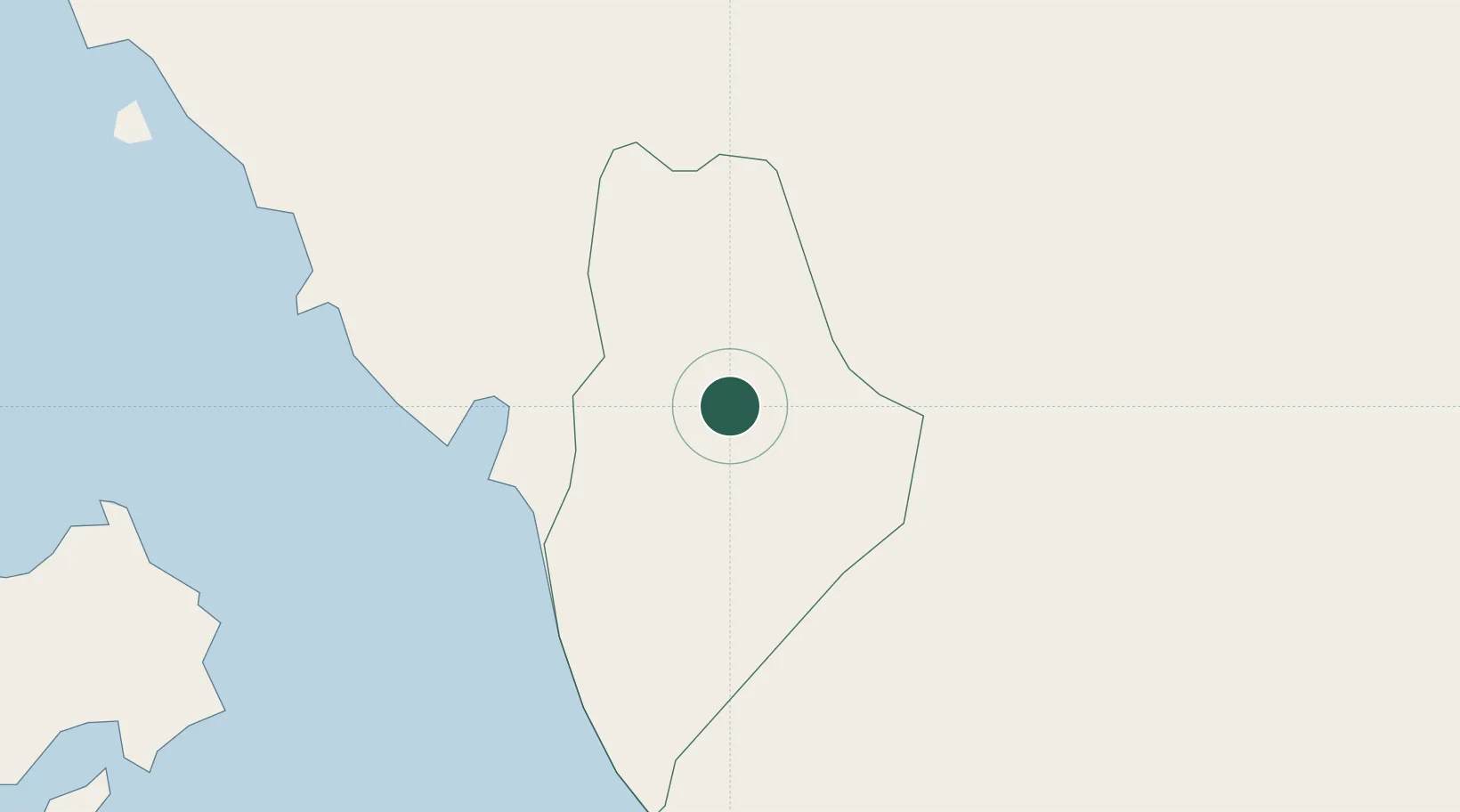
Location
Nearby Logistics Neighbours
Cities
- 1Padang Besar, Thailand15 km
- 2Sadao Customs House19 km
- 3Satun22 km
- 4Ban Prakop Customs House52 km
- 5Langkawi53 km
Ports
- 1Port Langkawi55 km
- 2Songkhla Harbor84 km
- 3Pulau Pinang125 km
- 4Pattani125 km
- 5Kantang Harbor126 km
Airports
- 1Sultan Abdul Halim Airport42 km
- 2Hat Yai International Airport47 km
- 3Langkawi International Airport62 km
- 4Songkhla Airport83 km
- 5Pattani Airport104 km
DatabookThe Record of Consolidated Knowledge
Malaysia beyond logistics?