UN/LOCODE hub · Malaysia
MYMBK

Merbok

5.7167°, 100.4167°
2
Transport functions

Transport Functions

Port
Road
UN/LOCODE

Hub Profile

Place type
Populated place
GeoNames
Region
Kedah
GeoNames
Time zone
Asia/Kuala_Lumpur
GeoNames
Elevation
26 m
GeoNames

Location

Location of MYMBK
Natural Earth 10m (public domain) · Kedah · MYMBK · 5.72, 100.42GoogleOSMYandex

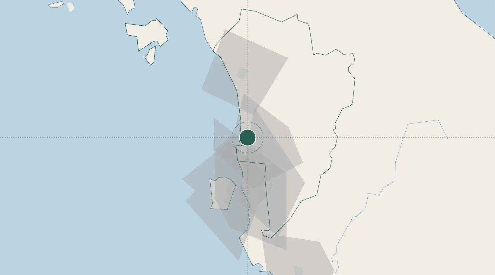
Nearby Logistics Neighbours

Cities
  1. 1Bedong11 km
  2. 2Sungai Petani12 km
  3. 3Kelang Baharu19 km
  4. 4Penang (Georgetown)30 km
  5. 5Butterworth33 km
Nearest neighbours — logibook spatial index (haversine) over the source coordinates
Ports
  1. 1Pulau Pinang34 km
  2. 2Port Langkawi107 km
  3. 3Lumut167 km
  4. 4Songkhla Harbor168 km
  5. 5Pattani168 km
Nearest neighbours — logibook spatial index (haversine) over the source coordinates
Airports
  1. 1RMAF Butterworth Air Base28 km
  2. 2Penang International Airport49 km
  3. 3Sultan Abdul Halim Airport53 km
  4. 4Betong International Airport82 km
  5. 5Langkawi International Airport102 km
Nearest neighbours — logibook spatial index (haversine) over the source coordinates
Trade Zones
  1. 1Butterworth Free Commercial Zone36 km
  2. 2Kulim Hi-Tech Free Zone38 km
  3. 3Northern Corridor Economic Region47 km
  4. 4Bayan Lepas Free Zone47 km
  5. 5Bayan Lepas Free Commercial Zone48 km
Nearest neighbours — logibook spatial index (haversine) over the source coordinates
DatabookThe Record of Consolidated Knowledge
Malaysia beyond logistics?
Browse databook

All Sources

LocationsUN/LOCODE
UN/LOCODE — free
Portsthe NGA World Port Index
Public domain (US gov)
AirportsOurAirports
Public domain
Trade Zonesthe World Bank SEZ database
CC BY 4.0
Trade ZonesOpen Zone Map
CC BY
← Malaysia locations