Medium airport · Malaysia
Langkawi International AirportWMKL
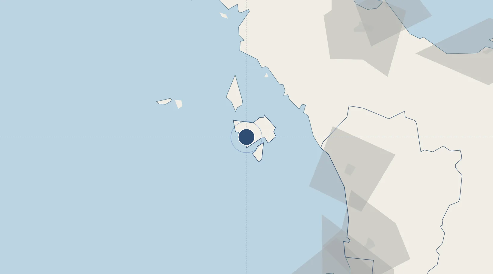
6.3297°, 99.7287°
12,500 ft
Longest runway
1
Runways
29 ft
Elevation
Runway & Layout

Radio Frequencies
ATIS
128.2 MHz
TWR
118.5 MHz
GND
121.8 MHz
APP
119.4 MHz
Navaids
LK NDB Langkawi 344 kHz
VPL VOR-DME Langkawi 114.10 MHz
Runways · 1
| Runway | Dimensions | Surface | True heading | Lit |
|---|---|---|---|---|
| 03/21 | 12,500 × 148ft | Asphalt | 034° | ✓ |
Airport Specifications
IATA code
LGK
ICAO code
WMKL
Airport class
Medium airport
Scheduled service
Yes
Runway surface
Asphalt
Served city
Langkawi
Location
Nearby Logistics Neighbours
Airports
- 1Sultan Abdul Halim Airport76 km
- 2Hat Yai International Airport99 km
- 3RMAF Butterworth Air Base121 km
- 4Penang International Airport130 km
- 5Trang Airport132 km
Cities
- 1Tanjung Lembung8 km
- 2Langkawi9 km
- 3Satun49 km
- 4Pakbara60 km
- 5Bukit Keteri62 km
Ports
- 1Port Langkawi12 km
- 2Kantang Harbor121 km
- 3Pulau Pinang123 km
- 4Songkhla Harbor137 km
- 5Pattani187 km
DatabookThe Record of Consolidated Knowledge
Malaysia beyond logistics?