UN/LOCODE hub · Malaysia
MYSEP

Sepang, Selangor

2.7000°, 101.7500°
3
Transport functions

Transport Functions

Port
Road
Fixed Transport
UN/LOCODE

Hub Profile

Region
10
GeoNames

Location

Location of MYSEP
Natural Earth 10m (public domain) · 10 · MYSEP · 2.70, 101.75GoogleOSMYandex

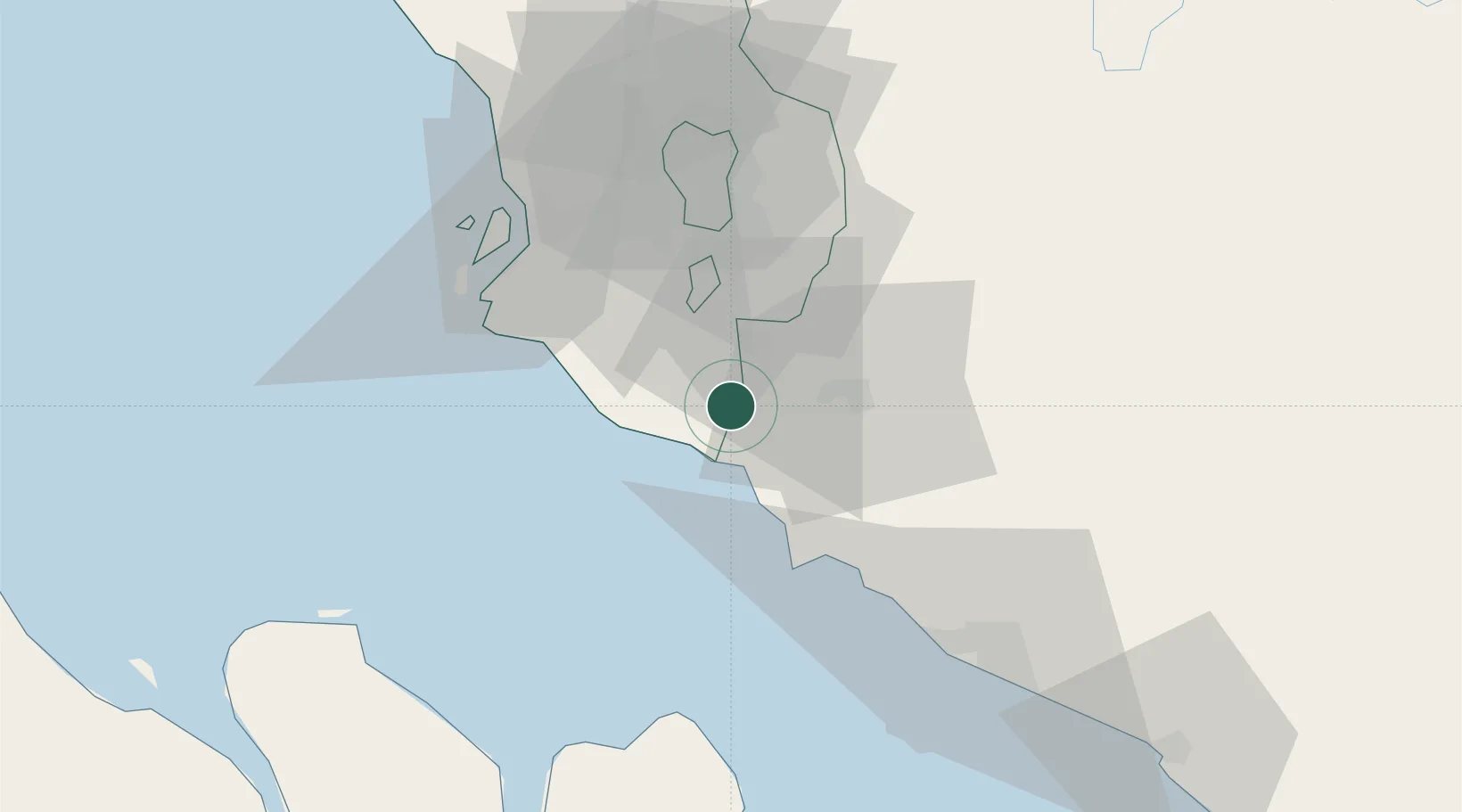
Nearby Logistics Neighbours

Cities
  1. 1Bandar Enstek6 km
  2. 2Sendayan Village11 km
  3. 3Nilai14 km
  4. 4Kuala Langat19 km
  5. 5Seremban20 km
Nearest neighbours — logibook spatial index (haversine) over the source coordinates
Ports
  1. 1Port Dickson19 km
  2. 2Port Klang51 km
  3. 3Pelabuhan Sungai Udang66 km
  4. 4Melaka79 km
  5. 5Muar116 km
Nearest neighbours — logibook spatial index (haversine) over the source coordinates
Airports
  1. 1Kuala Lumpur International Airport7 km
  2. 2Sultan Abdul Aziz Shah International Airport53 km
  3. 3Malacca International Airport74 km
  4. 4Pinang Kampai Airport126 km
  5. 5Kluang Airport188 km
Nearest neighbours — logibook spatial index (haversine) over the source coordinates
Trade Zones
  1. 1Techpark @ Enstek4 km
  2. 2Digital Free Trade Zone5 km
  3. 3Kuala Lumpur International Airport (Klia) Free Commercial Zone7 km
  4. 4Sendayan Tech Valley9 km
  5. 5Nilai Utama Industrial Park16 km
Nearest neighbours — logibook spatial index (haversine) over the source coordinates
DatabookThe Record of Consolidated Knowledge
Malaysia beyond logistics?
Browse databook

All Sources

LocationsUN/LOCODE
UN/LOCODE — free
Portsthe NGA World Port Index
Public domain (US gov)
AirportsOurAirports
Public domain
Trade Zonesthe World Bank SEZ database
CC BY 4.0
Trade ZonesOpen Zone Map
CC BY
← Malaysia locations