Large airport · Indonesia
Sultan Hasanuddin International AirportWAAA
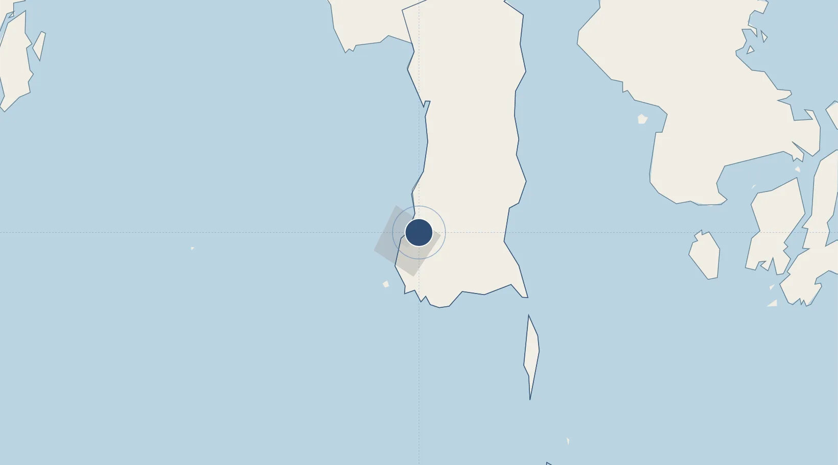
-5.0755°, 119.5537°
10,171 ft
Longest runway
2
Runways
47 ft
Elevation
Runway & Layout

Radio Frequencies
ATIS
126.25 MHz
TWR
118.1 MHz
APP
119.4 MHz
UJUNG PANDANG APP
INFO
295.6 MHz
UJUNG INFO
Navaids
MKS VOR-DME Hasanuddin 114.70 MHz
OJ NDB Hasanuddin 375 kHz
Runways · 2
| Runway | Dimensions | Surface | True heading | Lit |
|---|---|---|---|---|
| 03/21 | 10,171 × 148ft | ASPH | 029° | ✓ |
| 13/31 | 8,202 × 148ft | Asphalt | 130° | ✓ |
Airport Specifications
IATA code
UPG
ICAO code
WAAA
Airport class
Large airport
Scheduled service
Yes
Runway surface
ASPH
Served city
Makassar
Location
Nearby Logistics Neighbours
Airports
- 1Selayar - Haji Aroeppala Airport157 km
- 2Toraja Airport214 km
- 3Sangia Nibandera Airport233 km
- 4Bua - Palopo Lagaligo Airport235 km
- 5Haluoleo Airport336 km
Cities
- 1Makassar11 km
- 2Panakukang22 km
- 3Shahriar22 km
- 4Biringkassi30 km
- 5Palapo, Sulawesi234 km
Ports
- 1Ujung Pandang18 km
- 2Parepare120 km
- 3Pomalaa248 km
- 4Baubau342 km
- 5Raha Roadstead353 km
Trade Zones
DatabookThe Record of Consolidated Knowledge
Indonesia beyond logistics?