UN/LOCODE hub · United States
USMVW
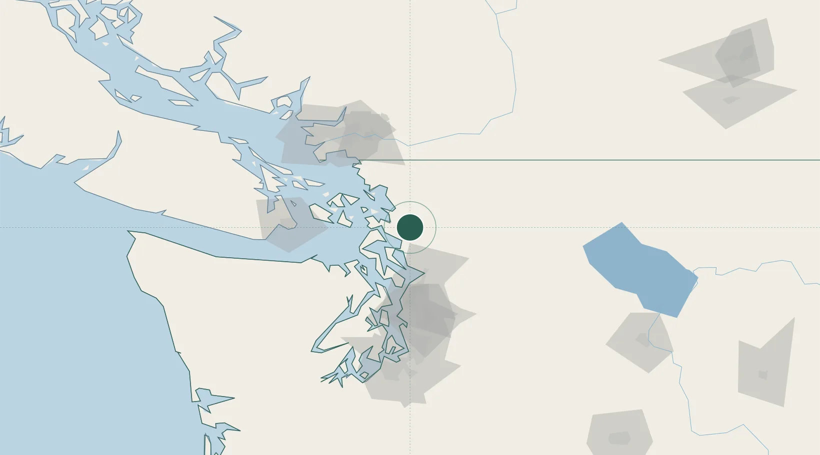
Mount Vernon
48.4167°, -122.3167°
34,053
Population
3
Transport functions
Transport Functions
Rail
Road
Airport
Hub Profile
Place type
Provincial seat
Region
Washington
Population
34,053
Time zone
America/Los_Angeles
Elevation
29 m
Location
Nearby Logistics Neighbours
Cities
- 1Sedro Woolley11 km
- 2Lakewood31 km
- 3Smokey Point32 km
- 4Acme34 km
- 5Tulalip39 km
Ports
- 1Anacortes25 km
- 2Coupeville34 km
- 3Bellingham39 km
- 4Port Townsend46 km
- 5Everett47 km
Airports
Trade Zones
- 1FTZ No. 129 Bellingham41 km
- 2FTZ No. 085 Everett47 km
- 3FTZ No. 128 Whatcom County47 km
- 4FTZ No. 005 Seattle90 km
- 5FTZ Vancouver Island109 km
DatabookThe Record of Consolidated Knowledge
United States beyond logistics?