Specialized Zone · Bangladesh
Moheshkhali Special Economic Zone, Ghativanga-Sonadia Under Development
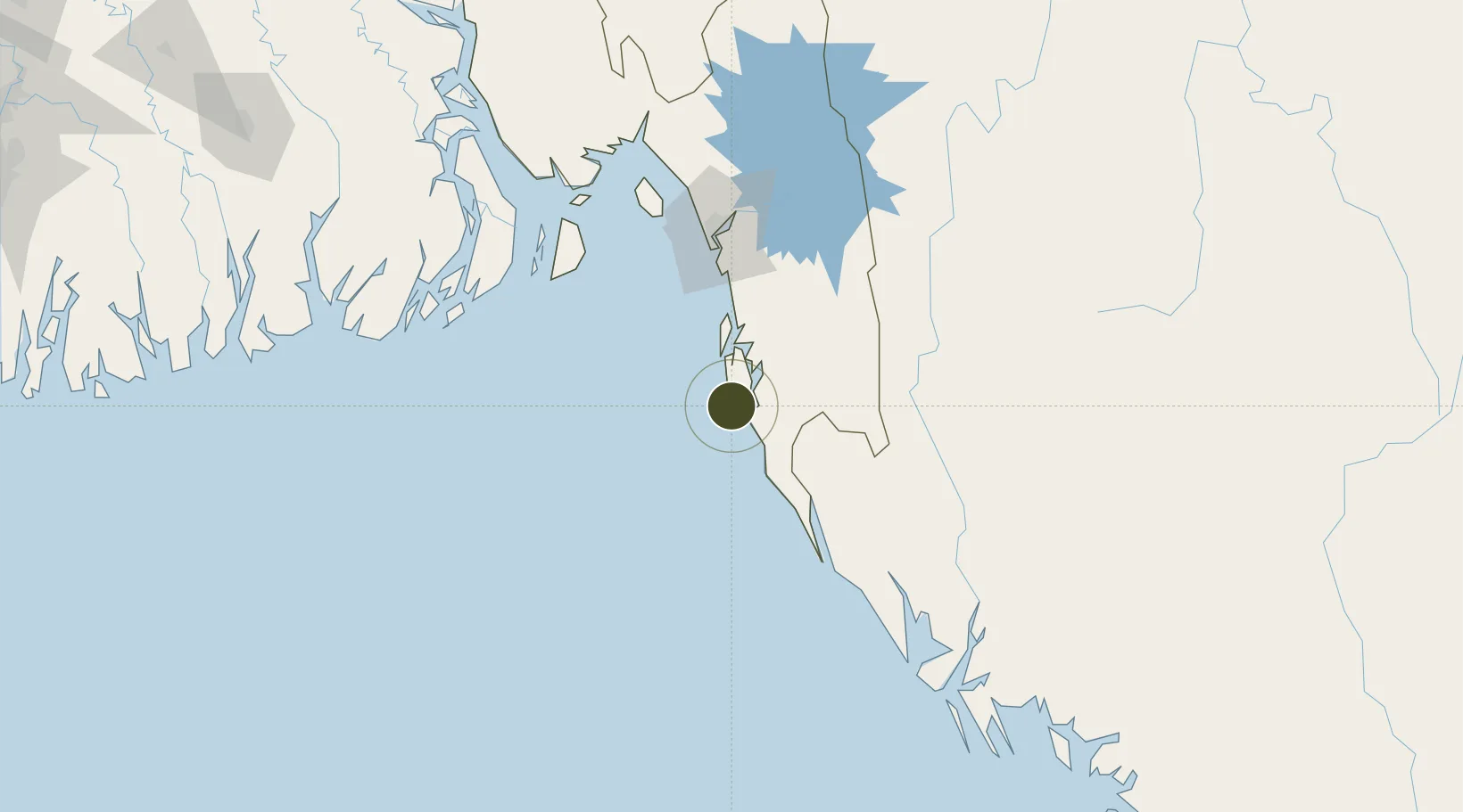
21.4905°, 91.8864°
5,245 ha
Zone area
92.1 km
Nearest port
8.8 km
Nearest airport
Gateway access
Zone profile
Zone type
Specialized Zone
Specialization
Tourism
Region
Chittagong
Status
Under Development
Management
Public
Operator
Bangladesh Economic Zones Authority
Legal framework
Bangladesh Economic Zones Act: 2010, Amendment of Bangladesh Economic Zones Act-2015:
Location
Nearby Logistics Neighbours
Ports
- 1Chittagong92 km
- 2Sittwe184 km
- 3Mongla260 km
- 4Calcutta385 km
- 5Haldia Port397 km
Airports
- 1Cox's Bazar Airport9 km
- 2Shah Amanat International Airport85 km
- 3Saiha Helipad159 km
- 4Sittwe Airport182 km
- 5Barisal Airport219 km
Cities
- 1Chattogram95 km
- 2Payra Port174 km
- 3Mongla261 km
- 4Narayanganj271 km
- 5Munshiganj271 km
DatabookThe Record of Consolidated Knowledge
Bangladesh beyond logistics?